


WEST PALM BEACH, Fla. — A cold front arrives Sunday afternoon/evening, bringing a cloudier skies and a noticeable cool-down to start the new week.
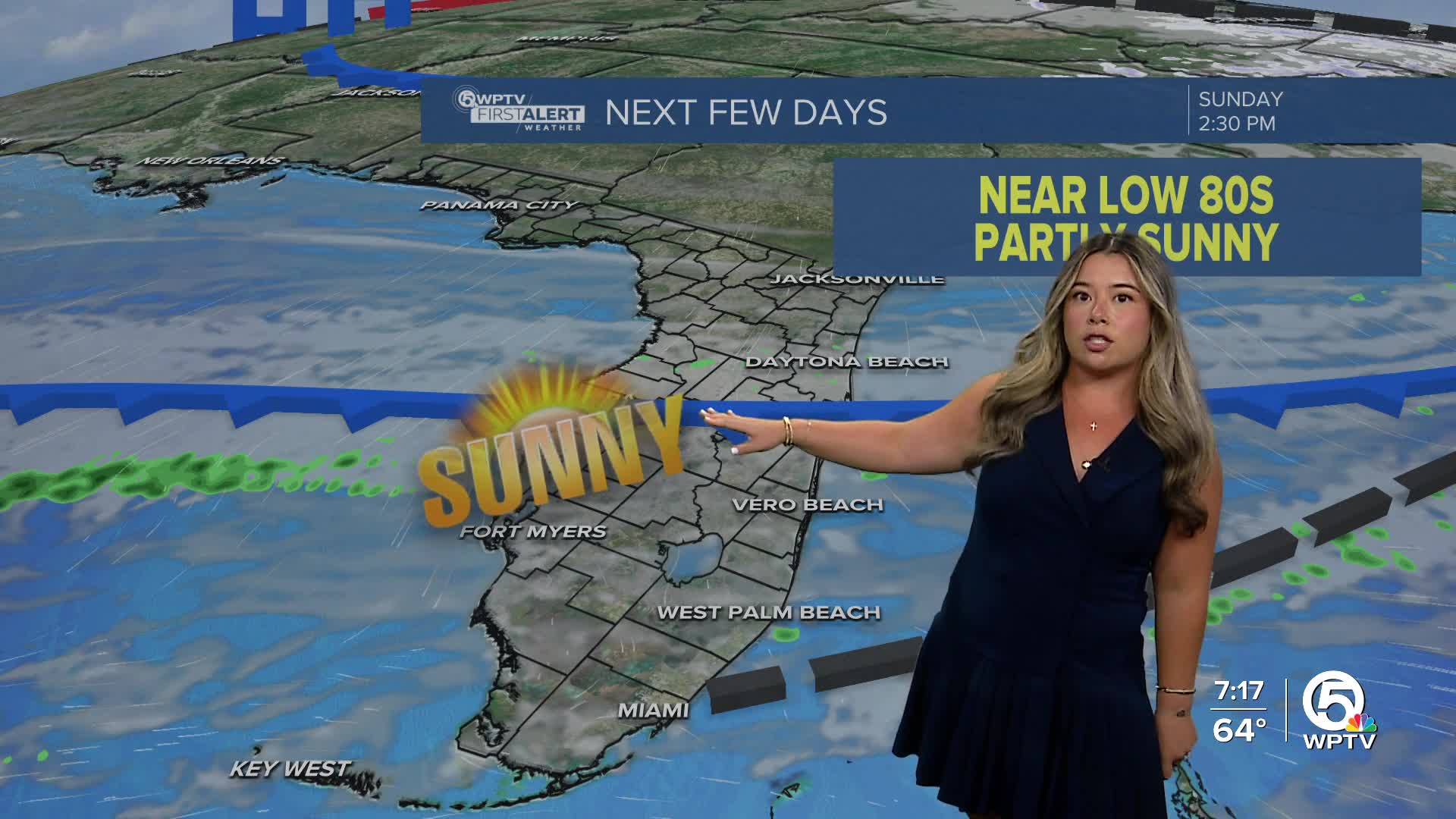
Most of Sunday will be nice under a partly to mostly cloudy sky and highs in the lower 80s. As the cold front arrives late in the day, isolated showers are possible—especially the further north you are.
Winds start to move in from the north, cooling temperatures down for the start of the new week.
A moderate risk for rip currents in effect for all area beaches starting this evening as the front clears our area. Seas will build to six to nine feet tonight for the Treasure Coast.
MORE WEATHER: Radar | Alerts | 7-Day Forecast | Hourly Forecast
Monday morning will feel noticeably cooler in the upper 50s to lower 60s. Temperatures stay near seasonal levels, in the lower to middle 70s, through midweek before another, stronger cold front arrives.
Scattered to widespread rain moves in on Wednesday and Thursday with much colder air behind it. Some inland areas could see lows in the lower 40s by the end of the work week.


