


WEST PALM BEACH, Fla. — Enjoy Friday while you can, because a powerful blast of arctic air is set to bring some of the coldest and windiest conditions our area has seen in years.
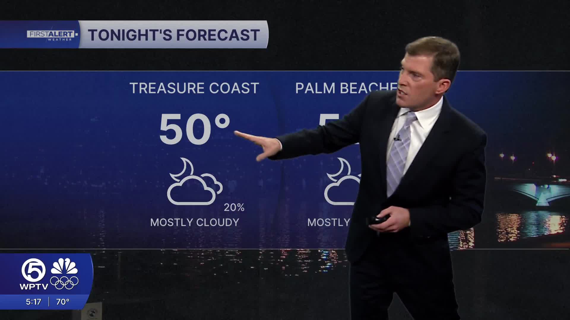
A stray shower can’t be ruled out late Friday or tonight, but rain amounts will stay light.
MORE WEATHER: Radar | Alerts | 7-Day Forecast | Hourly Forecast
Conditions change quickly on Saturday as a strong cold front sweeps through South Florida. Winds will ramp up rapidly by late morning and afternoon, turning west to northwest and increasing to 20 to 30 mph. Gusts between 35 and 45 mph are likely, and a few gusts could top 50 mph. Temperatures may briefly reach the 60s early Saturday afternoon before falling fast by sunset.
Saturday night into Sunday morning is the most dangerous period.
Overnight lows will plunge into the 20s inland and near or below freezing closer to the coast. Strong winds will make it feel even colder, with wind chill values dropping into the teens.
Sunday will remain cold and blustery despite plenty of sunshine. Highs will struggle to reach the upper 40s to low 50s, which is several degrees below average. Wind chills will stay in the 20s and 30s through much of the day. Very dry air combined with gusty winds may also create elevated fire weather concerns.
Another hard freeze is expected Sunday night into early Monday, with many inland locations again dropping into the 20s and wind chills falling into the teens. While winds will be lighter, the cold air will remain intense.
Boating conditions will become dangerous starting Saturday afternoon. Gale-force winds and rapidly building seas will impact Atlantic waters through Sunday, with offshore seas potentially reaching double digits. This is not a safe weekend to be on the water.
Residents should prepare now by protecting people, pets, pipes and plants, and securing loose outdoor items before the strongest winds arrive. This is a rare and dangerous cold event for South Florida, and impacts could last for several days.
WEATHER ALERTS FOR TREASURE COAST & OKEECHOBEE COUNTY
- Extreme Cold Warning and Freeze Warning from 7 p.m. Saturday to 1 p.m. Sunday
- Wind Advisory from 3 p.m. Saturday to 7 a.m Sunday
WEATHER ALERTS FOR PALM BEACH COUNTY
- Extreme Cold Warning and Freeze Warning in effect from 10 p.m. Saturday to 10 a.m. Sunday
- Wind Advisory from 7 p.m. Saturday to 7 a.m. Sunday
WATCH: WPTV Meteorologist Chris Sowers answers your cold-weather questions live!
Read more of our coverage below:

Weather News
FLORIDA FREEZE: What's the coldest temp ever recorded in our area?

Weather News
Here's what's closed, canceled due to extreme weather

Weather News


