


The frontal boundary that has been responsible for the soggier conditions over the weekend is finally lifting north, allowing for high pressure to build in this week.
With an on shore breeze, stray shower or two will attempt to move onto the coast after midnight through early Tuesday morning. Lows will fall into the mid-upper 70s.
MORE WEATHER: Radar | Alerts | 7-Day Forecast | Hourly Forecast
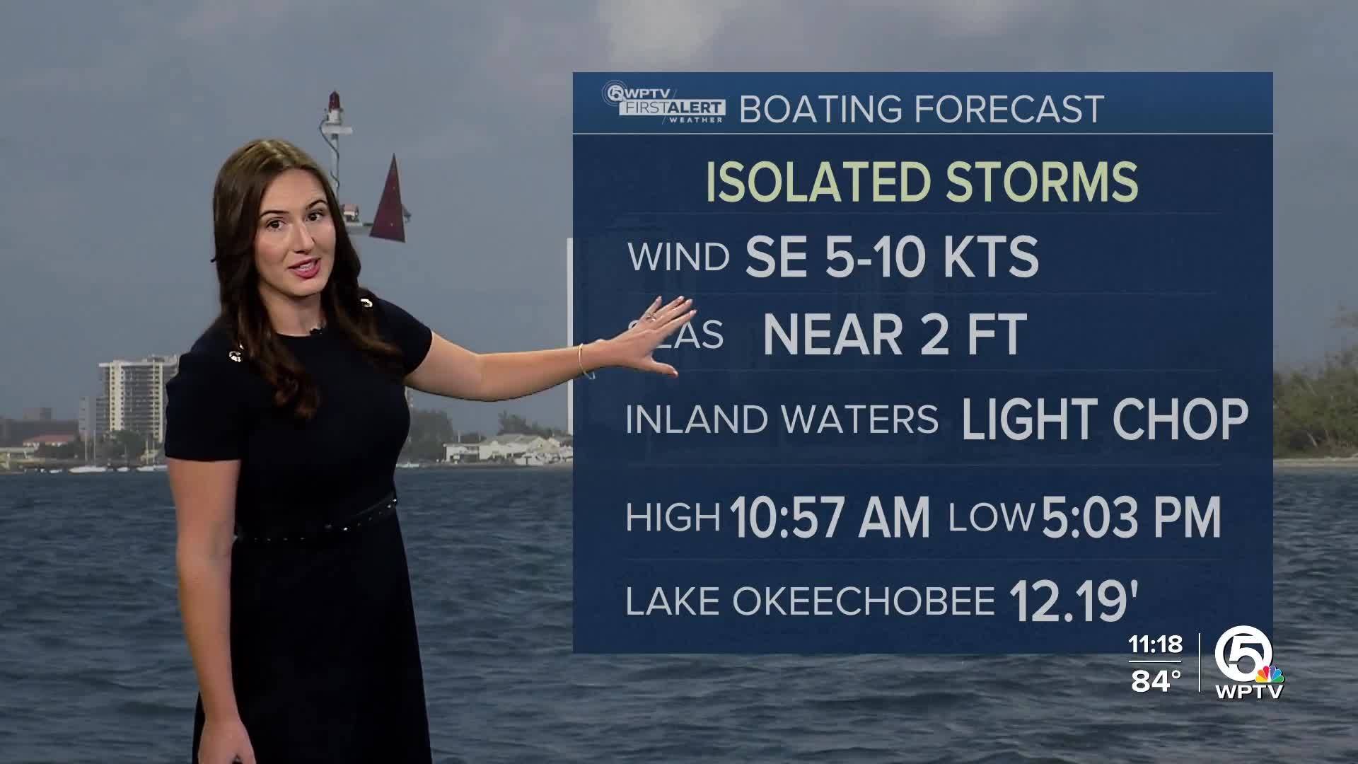
The day will be partly sunny and hot with highs in the lower 90s and heat indices between 100-105 degrees returning. Isolated showers and t-storms will pop-up along our sea breeze in the afternoon. Rain chances are near 40%.
Wednesday will be hot and humid with highs in the lower 90s and partly cloudy skies. A few storms are expected to fire up in the afternoon.
The rest of the work week will play out similarly with spotty storms and hot afternoon temperatures.


