
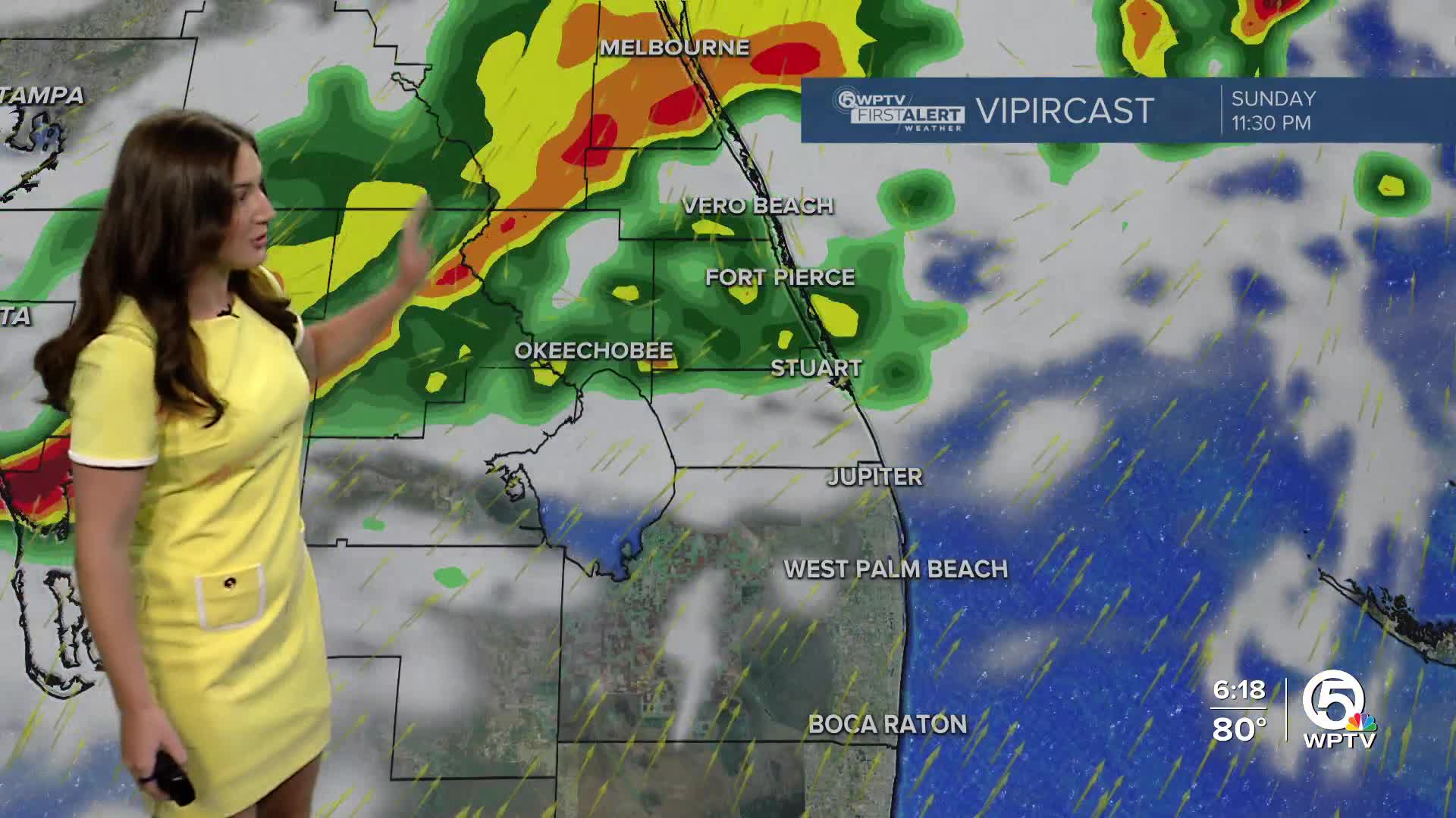


WEST PALM BEACH, Fla. — Rain chances begin to rise this evening as the front reaches Lake Okeechobee, with scattered showers expected overnight across the area.

More widespread rounds of rain arrive Monday, especially from the morning through early afternoon.
Clouds and rainfall will help bring temperatures down a little on Monday, with highs closer to the low 80s. However, the noticeably cooler and drier air will arrive behind the front.
Morning lows on Tuesday will fall into the mid 50s inland and mid 60s along the coast. Clouds look to stick around throughout the day. Afternoon highs will struggle to get out of the middle to upper 70s making for a comfortably cool day.
MORE WEATHER: Radar | Alerts | 7-Day Forecast | Hourly Forecast
Pleasant and mostly dry weather holds through midweek as high pressure settles over the region. A weak front will pass through on Friday, which will just keep the cooler air in place for a little longer.
We are tracking the potential of another rainmaker into the following weekend.


