



WEST PALM BEACH, Fla. — The weather pattern is beginning to shift.
After several days of scattered afternoon thunderstorms, drier air is moving into South Florida along with a plume of Saharan dust, which will lower rain chances through the middle of the week. While an isolated shower or thunderstorm can't be ruled out Wednesday, many neighborhoods will remain dry for much of the day.
MORE WEATHER: Radar | Alerts | 7-Day Forecast | Hourly Forecast
The Saharan Air Layer, often called SAL, is a mass of very dry, dusty air that originates over the Sahara Desert in North Africa before traveling thousands of miles across the Atlantic Ocean. As it moves over South Florida, it suppresses thunderstorm development by introducing much drier air into the middle levels of the atmosphere.
The tradeoff is the heat.
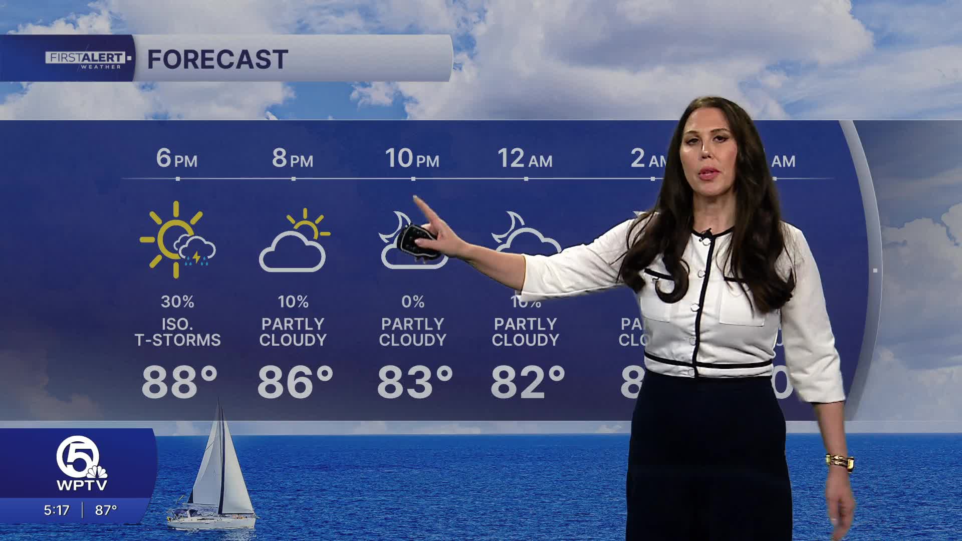
With fewer clouds and fewer afternoon storms to provide relief, temperatures will climb into the lower and middle 90s Wednesday and Thursday. Combined with South Florida's humidity, heat index ( feels like) values between 101 and 106 degrees are expected.
While not everyone will see rain, any storm that develops could produce brief heavy downpours, frequent lightning, gusty winds up to 40 to 50 mph, and localized street flooding. Skies will gradually clear after sunset, leaving warm, muggy conditions overnight with lows in the middle to upper 70s.
Looking ahead through the rest of the week, temperatures remain in the mid-90s with continued humid conditions. Hazy skies are possible at time. Daily afternoon storm chances will continue, BUT rain coverage will trend lower later in the week as drier air and some Saharan dust begin to filter into South Florida, allowing the heat to become even more intense.
Highs are expected to reach the mid 90s across the area with feels-like temperatures approaching 110.
The dust may cause some throat irritation and make it harder to breathe, especially for those who have COPD or asthma.
Keep an eye out for brilliant sunrises and sunsets due to how the sunshine scatters the dust particles in the air.


