
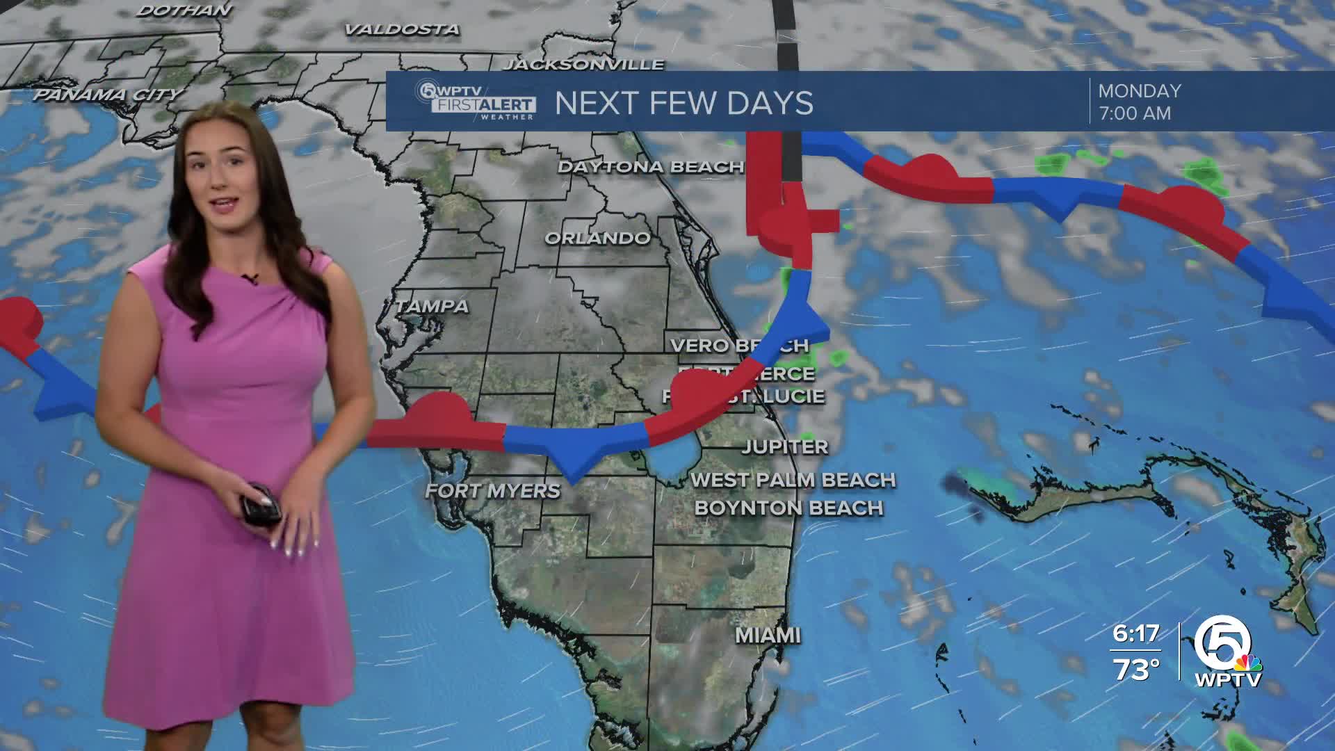


WEST PALM BEACH, Fla. — A weak front is stalling over south and central Florida bringing the chance for brief, isolated showers through Monday before the front lifts.
Overnight lows will stay comfortably cool, falling into the upper 50s to low 60s. Monday's forecast features a mix of sun and clouds with the chance for a few pop-up showers.
MORE WEATHER: Radar | Alerts | 7-Day Forecast | Hourly Forecast
High pressure quickly builds in by Tuesday, whisking away the clouds and any rain chances through the work week. This will set the stage for a gradual warming trend. Afternoon highs will climb near 80 on Monday, with lower to middle 80s possible by midweek, especially inland.
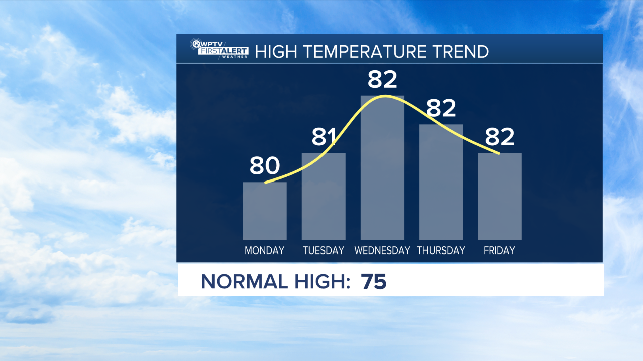
Models are showing a cold front arriving next Sunday or the following week with some cooler air moving in behind it, but it is still too early to tell how strong the front will be.


