


TALLAHASSEE, Fla. — Florida's top emergency management official on Tuesday urged residents along the state's west coast to evacuate to Palm Beach, Broward, and Miami-Dade counties due to the threat of Hurricane Ian.
Currently, 2.5 million Floridians are under some kind of evacuation order.
Kevin Guthrie, the director of Florida's Division of Emergency Management, spoke at a news conference with Gov. Ron DeSantis on Tuesday and advised residents in Southwest Florida to evacuate east across the state.
"Many people in the Southwest Florida area, your best bet is going to be evacuate across the state," Guthrie said. "Just go straight across the state to Broward, Miami-Dade, Palm Beach."
Guthrie added that residents on the west coast should not head north, as it will clog up highways too much.
"Do not go north. Go straight across over to Southeast Florida," Guthrie said.
WATCH: Florida's governor gives update on Hurricane Ian
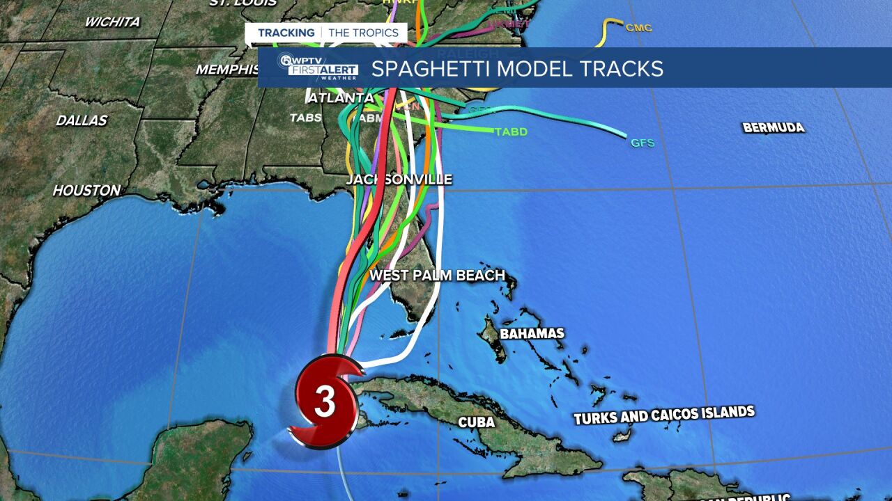
TRACKING THE TROPICS: Hurricane Center | Hurricane Guide
To aid with evacuations, tolls have been suspended throughout the state and transportation officials said they will likely open up emergency lanes on major highways like Interstate 75 in the Tampa area, Interstate 4 in Central Florida, and Alligator Alley across the state from Collier to Broward counties.
"Contraflow" involves opening the shoulder for emergency evacuations once traffic flow is moving at a sustained pace of less than 40 miles per hour.
"They will open that up to be able to increase the flow," DeSantis said. "As soon as that under 40 happens, then they will do it."
DeSantis said 5,000 National Guard service members from Florida and 2,000 from other states are mobilized and ready to respond to any storm-related emergencies.
Five Urban Search and Rescue Teams are on standby and 28,000 FPL linemen are prepared to respond to power outages throughout the state.
"I would just tell all Floridians who are in the path of this, there's gonna be interruptions in things like power, there's gonna be interruptions in fuel, maybe interruptions in communications," DeSantis said. "That is to be expected, so just plan for that."
Dozens of school districts, including those in Palm Beach, Martin, St. Lucie, Indian River, and Okeechobee counties, have announced school closures for the next couple days.
All 67 counties in Florida are currently under a state of emergency.
RELATED: Cancellations, closures, postponements caused by Hurricane Ian
DeSantis said the latest forecast models are projecting that Hurricane Ian will make landfall south of Tampa, likely in the Venice area, likely around 8 p.m. Wednesday.
The system will bring "catastrophic flooding and life-threatening storm surge" to Florida's west coast, the governor said.
"What we have here is really historic storm surge and flooding potential," DeSantis said.


