
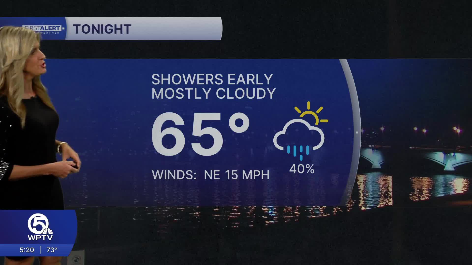


WEST PALM BEACH, Fla. — Isolated rain will linger along the shoreline and over local waters through Friday. Marine hazards will be present through the weekend. A high risk of rip currents remains at area beaches through Sunday along with a small craft advisory.
MORE WEATHER: Radar | Alerts | 7-Day Forecast | Hourly Forecast
Strong north to northeast winds will keep things choppy, and entering the water is strongly discouraged for now.
As we move into the weekend, the pattern begins to shift in your favor. Rain chances drop off, skies gradually clear, and winds ease up as high pressure settles in. While a stray shower can’t be ruled out on Friday, especially near the coast, most of the weekend looks drier and calmer overall.
Temperatures rebound nicely this weekend with highs back in the 80s. Overnight lows will remain mild in the upper 60s and low 70s.
By Tuesday and Wednesday, a weak front could bring back a slight chance of showers and a bit more cloud cover, but overall, expect a warm, more spring-like stretch ahead.
**Portions of this story were assisted by artificial intelligence tools and reviewed by a WPTV journalist to ensure accuracy, clarity, and adherence to editorial standards.


