
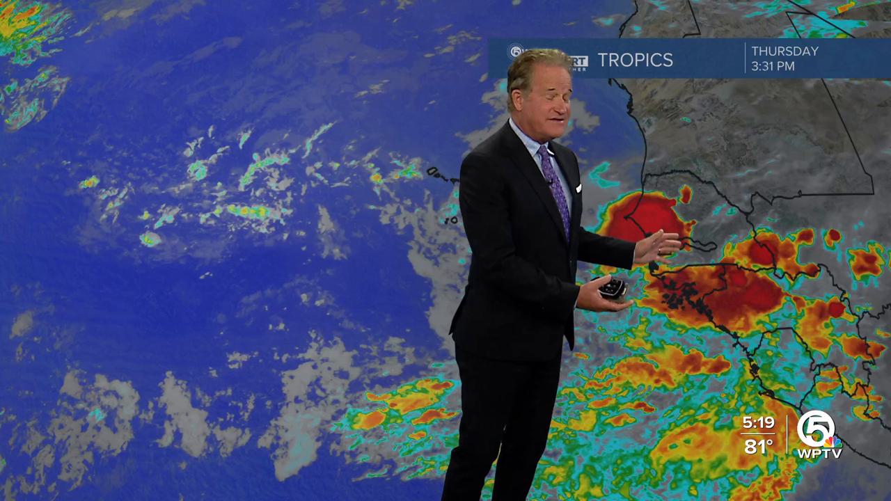


WEST PALM BEACH, Fla. — A few additional showers or thunderstorms are possible tonight as clouds stick around. Lows will generally be in the mid 70s.
Friday, a northerly flow settles in, working in more clouds and passing showers/ thunderstorms from the Atlantic. Heavy downpours will bring the threat for isolated flooding, especially in low-lying or flood prone areas.
A stationary front will attempt to move through as a cold front, allowing for the humidity and rain chances to lower this weekend.
A high risk of rip currents continues for our beaches through Friday.
MORE WEATHER: Radar | Alerts | 7-Day Forecast | Hourly Forecast

You can expect less rain coverage on Saturday, however, we will still be watching for some minor flooding with our already saturated grounds.
Weekend temperatures will reach upper 80s before backing off into the the lower 70s overnight.
Sunday looks to be the nicer day out of the two with some sunshine and only isolated rain chances. This is some good news after a soggy and stormy week!


