


WEST PALM BEACH, Fla. — We head into the weekend with a gradual warming trend lasting into next week.
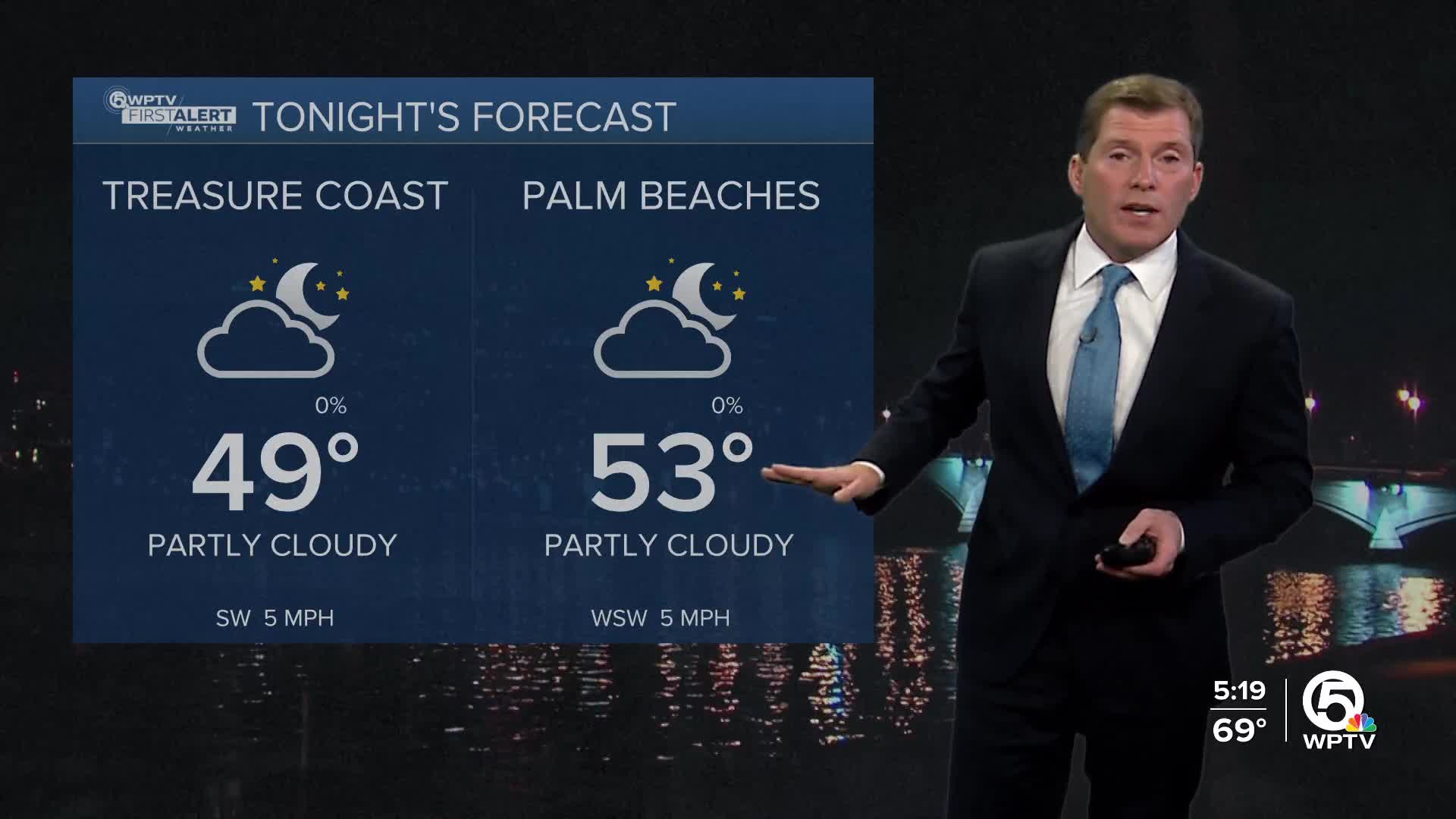
High pressure is settling over the area, keeping winds light and conditions calm. The sky will be mostly clear Friday night with some patchy fog possible early Saturday morning in interior spots. Overnight temperatures won’t be as chilly, dipping into the mid-40s inland and lower 50s closer to the coast.
MORE WEATHER: Radar | Alerts | 7-Day Forecast | Hourly Forecast
The Quadrantid meteor shower peaks in the predawn morning sky.
However, the "Wolf" supermoon coincides which may make visibility of the shooting stars more difficult.
Saturday stays dry as high pressure slides east and winds turn more southerly. That shift helps temperatures rebound to near-normal levels, with highs climbing into the upper 70s. Overall, it should be a pleasant day with a mix of sun and clouds and no rain to worry about.

By Sunday, a weakening cold front approaches the region, bringing the best chance of showers we’ve seen in a while. Moisture will be limited, so rainfall amounts look light—generally a quarter inch or less—and won’t do much to ease the ongoing drought.
The front moves through by late Sunday into early Monday, followed by another stretch of dry weather next week. Expect highs in the upper 70s to around 80 and lows in the 50s and 60s through midweek.
**Portions of this story were assisted by artificial intelligence tools and reviewed by a WPTV journalist to ensure accuracy, clarity, and adherence to editorial standards.


