


WEST PALM BEACH, Fla. — A stalled-out front continues to wiggle south, bringing enhanced moisture levels over our area.
Daily rounds of showers and storms are expected through Friday, and some cities or neighborhoods may experience repeated downpours that increase the risk of flash flooding.

The threat of flooding is higher in parts of southeastern Palm Beach County, and that threat expands across the Treasure Coast and Okeechobee County by Thursday.
Afternoon temperatures will stay in the upper 80s or near 90 degrees.
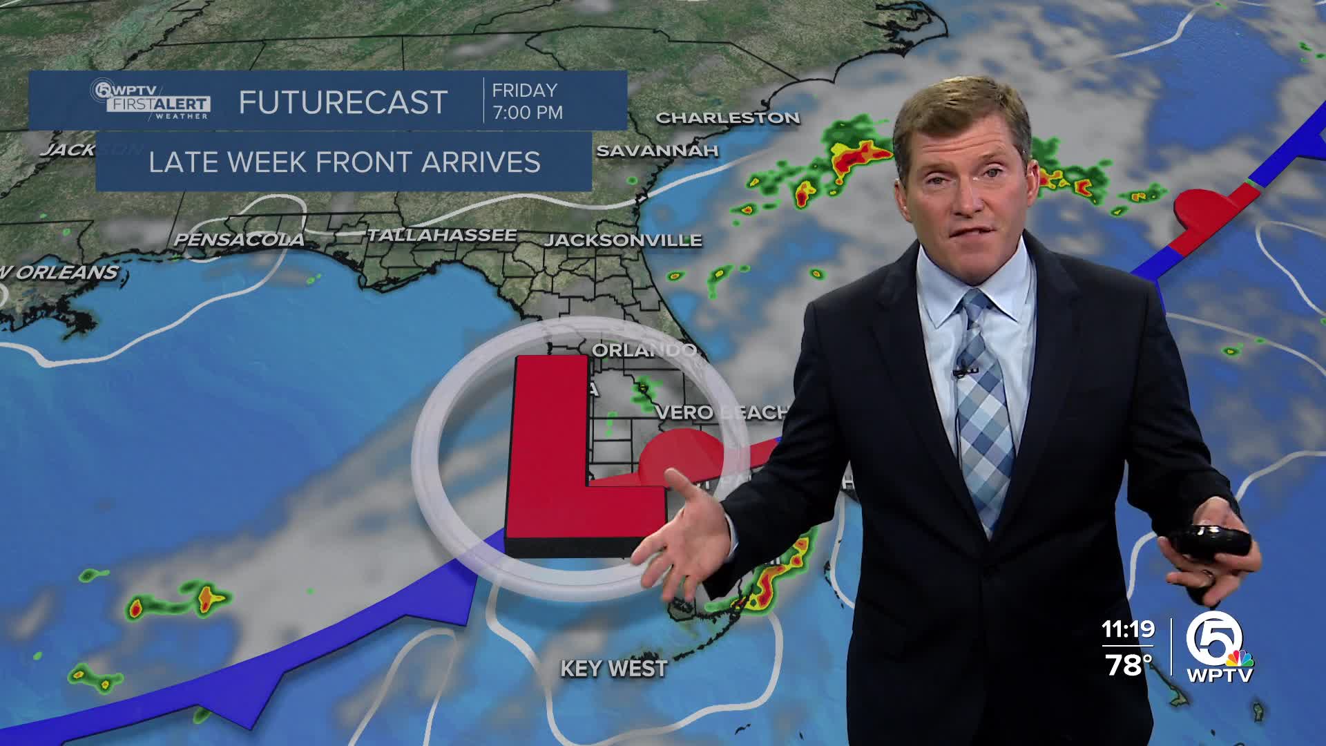
The stationary front will attempt to pass through as a cold front, allowing for the winds to start to turn out of the north on Friday. The humidity will be more comfortable this weekend and rain chances will be lower. This is some good news after a soggy and stormy week.
High temperatures will reach the upper 80s with overnight lows falling into the lower-mid 70s.
MORE WEATHER: Radar | Alerts | 7-Day Forecast | Hourly Forecast


