
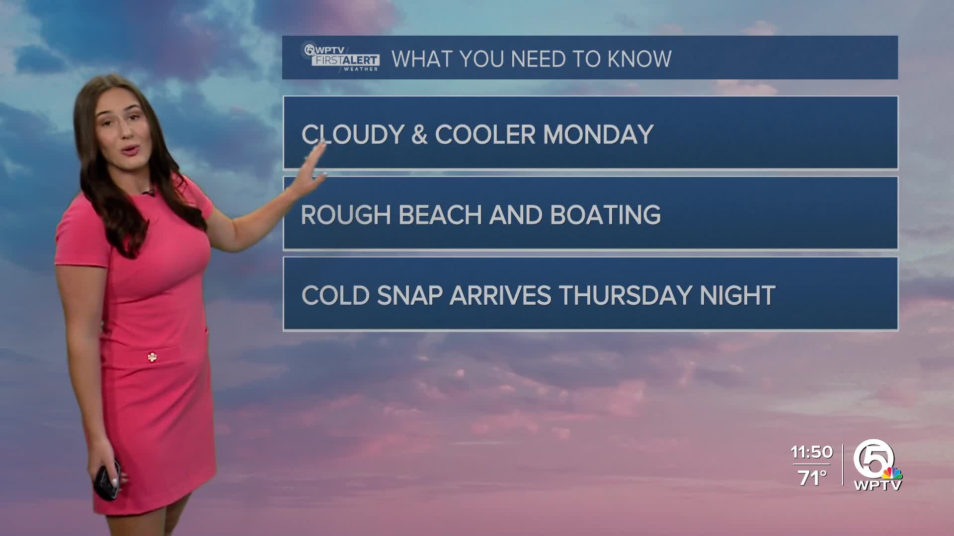


WEST PALM BEACH, Fla. — Monday morning will feel noticeably cooler in the upper 50s to lower 60s. Temperatures stay near seasonal levels during the day, in the lower to middle 70s.
A cloudier and cooler trend continues through the middle half of the week before we see another change in the weather pattern as a more potent cold front arrives.
Winds will start to turn out of the north, creating hazardous conditions for our waters.
A high risk for rip currents is in effect for the Palm Beaches and a small craft advisory for surrounding coastal waters on Monday as seas build to six to nine feet.
MORE WEATHER: Radar | Alerts | 7-Day Forecast | Hourly Forecast
Spotty showers will first move in on Wednesday with slightly higher rain chances on Thursday. The newest weather models are showing a little less rain, most totals under 0.5", but even colder temperatures. Thursday will also be very windy with occasional gusts near 30mph. The northwesterly winds will usher in a much colder airmass overnight.
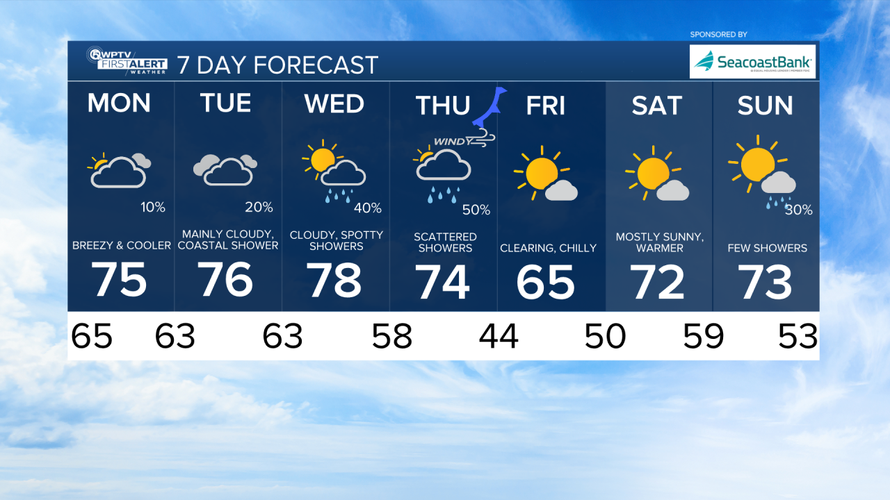
Some inland areas could see lows in the mid 30s Friday morning, but most of the coast will be in the lower-mid 40s. We will update you with any frost advisories or watches issued as it gets closer.


