


WEST PALM BEACH, Fla. — Today, warm, humid conditions and scattered afternoon and evening thunderstorms. Expect warm and muggy temperatures in the upper 80s. Skies will be partly sunny through midday before clouds build during the afternoon. Highs will reach around 89 to 91 degrees, with heat index values climbing into the upper 90s and low 100s.
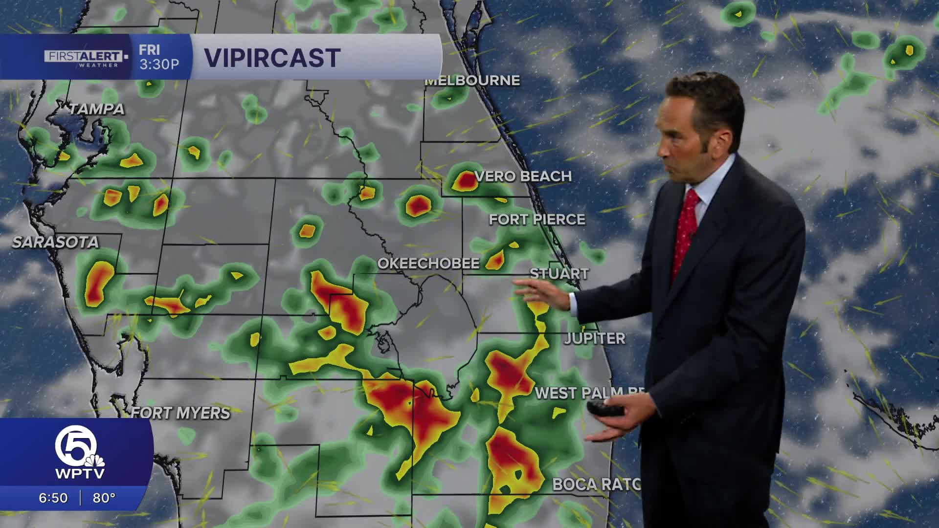
Sea breezes will help trigger scattered showers and thunderstorms beginning early to mid-afternoon, with the greatest coverage developing inland before some storms drift back toward the coast during the late afternoon and evening. A few storms could produce frequent lightning, torrential downpours, and gusty winds, leading to brief localized street flooding.
MORE WEATHER: Radar | Alerts | 7-Day Forecast | Hourly Forecast
Rain chances are around 60 to 70 percent across the Palm Beaches and Treasure Coast this afternoon and evening. Storms gradually diminish after sunset, leaving partly cloudy skies and warm overnight lows near 78 to 80 degrees. Beach and boating conditions remain generally favorable this morning with light southeast winds around 5 to 10 mph. However, keep an eye on the sky this afternoon, as thunderstorms can develop quickly and produce dangerous cloud-to-ground lightning and locally rough conditions on the water.
This Holiday weekend will see hot and humid days with some passing storms in the afternoons. The fireworks weather at 9pm should be dry. Have a safe, but fun weekend!
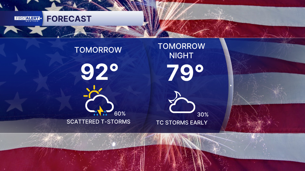
Sunday will heat up in the morning under a partly sunny sky. Storms will become more likely in the afternoon a our sea breeze develops. Regardless, it will be hot and humid with highs in the lower 90s and feels-like temperatures topping 100°.
**Portions of this story were assisted by artificial intelligence tools and reviewed by a WPTV journalists to ensure accuracy, clarity, and adherence to editorial standards.


