


WEST PALM BEACH, Fla. — Sunday will feature more clouds than sun along with scattered downpours and thunderstorms popping up in the afternoon and evening. Isolated areas of flooding possible. Highs will approach the lower 90s.
The weather prediction center puts most of south Florida under a marginal risk for excessive rainfall through the entire holiday weekend. This means there is a low, but present risk of flash flooding, especially in flood prone areas.
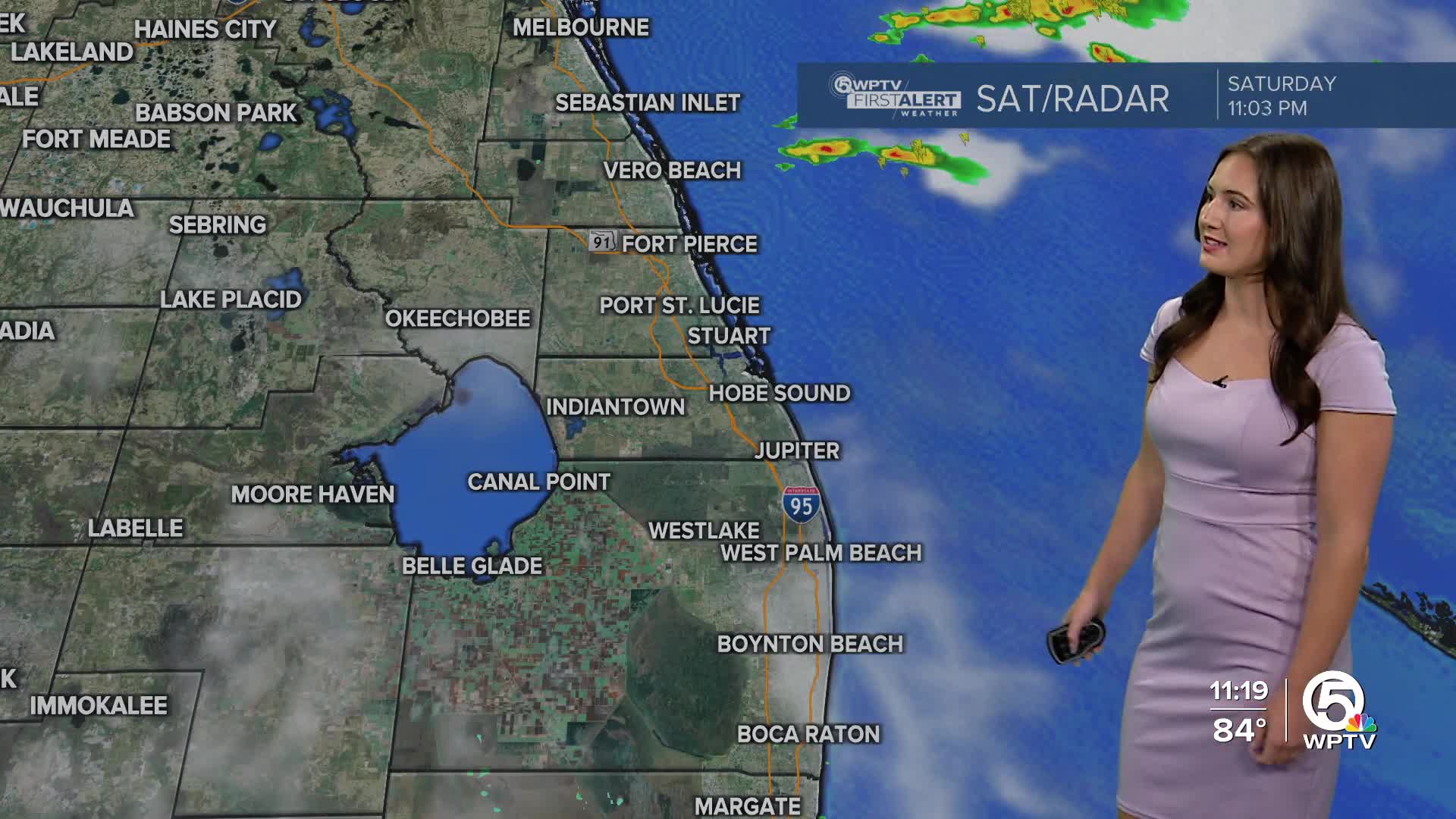
MORE WEATHER: Radar | Alerts | 7-Day Forecast | Hourly Forecast
Overall the severe threat is low, but that's not to say there couldn't be a stronger storm or two out there from time to time. Stronger meaning gusts up to 50 mph and small hail.

Labor Day will be partly sunny with pop-up afternoon thunderstorms. Highs, once again, in the lower 90s.
BEACH AND BOATING
Boating conditions look good Sunday with seas of 1 to 2 feet. But it turns a little choppy on Labor Day with building wave heights of 2 to 3 feet (isolated 4 feet). Beach goers can expect a low risk of rip currents each day.
THE TROPICS
The tropics remains quiet for the next couple of days. A tropical wave will emerge off the west African coast on Sunday, and gradual development of this wave is expected next week as it tracks westward across the Atlantic.


