


WEST PALM BEACH, Fla. — While most of the area has dried up for the day, a shower or two may try to drift east tonight. Lows will fall into the mid-upper 70s overnight.
We will start the day with some sunshine and humid conditions. A southwest wind flow Friday is setting us up for stronger storms in the late afternoon.
Once again tomorrow, our entire viewing area is under a Level 1 Marginal risk for severe weather. Along with strong wind gusts and heavy downpours, isolated storms could have damaging winds and produce localized flooding in slow-moving storms and poor drainage areas. The tornado threat is low, but can't be ruled out.
MORE WEATHER: Radar | Alerts | 7-Day Forecast | Hourly Forecast
Highs will stay near 90 through the rest of the week.

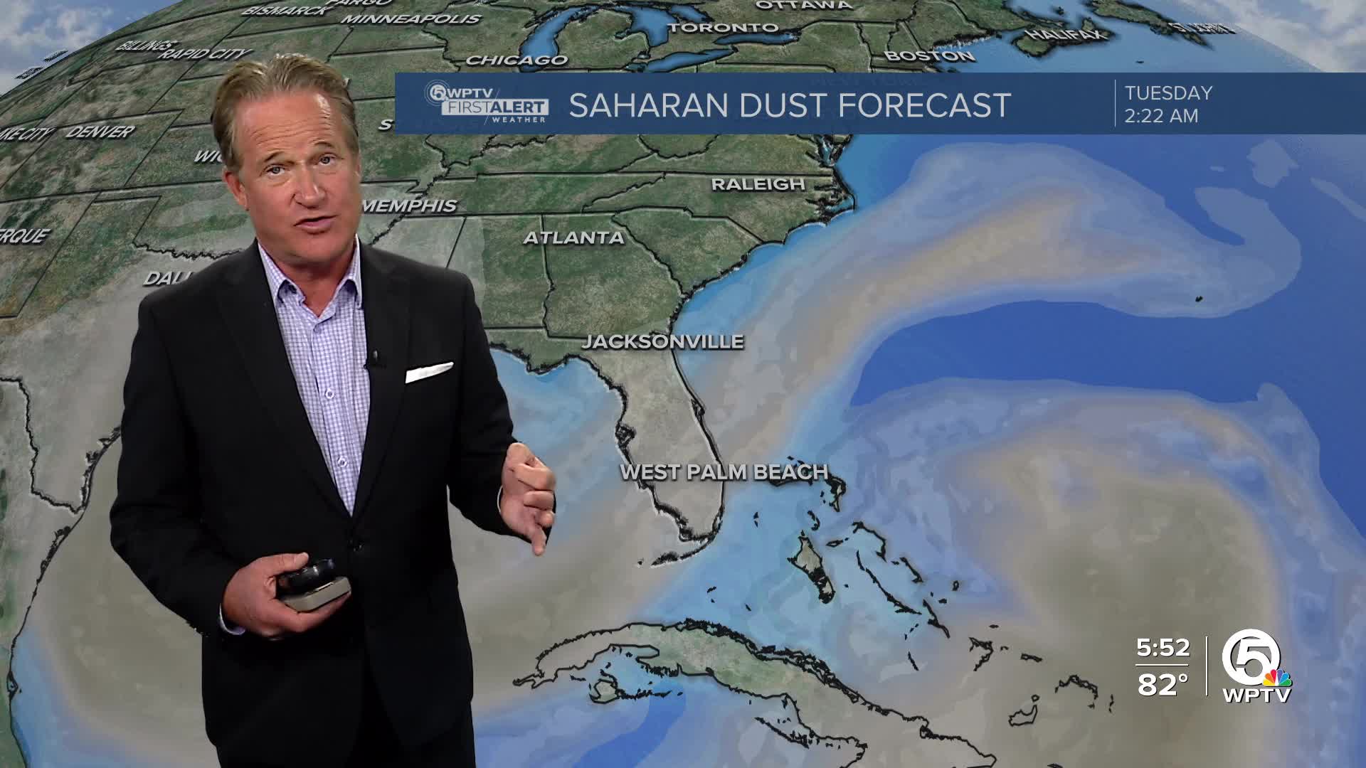
A large plume of Saharan dust is making its way towards our area; it will make for a hazier weekend. Even with the dust, storms are still expected on Saturday, but the dust will decrease rain chances on Sunday.


