


WEST PALM BEACH, Fla. — The high humidity and the sea breeze Wednesday will help trigger more thunderstorms than in the past couple of days, especially through the early evening.
After some morning showers and storms, the afternoon looks mainly cloudy near the coast.
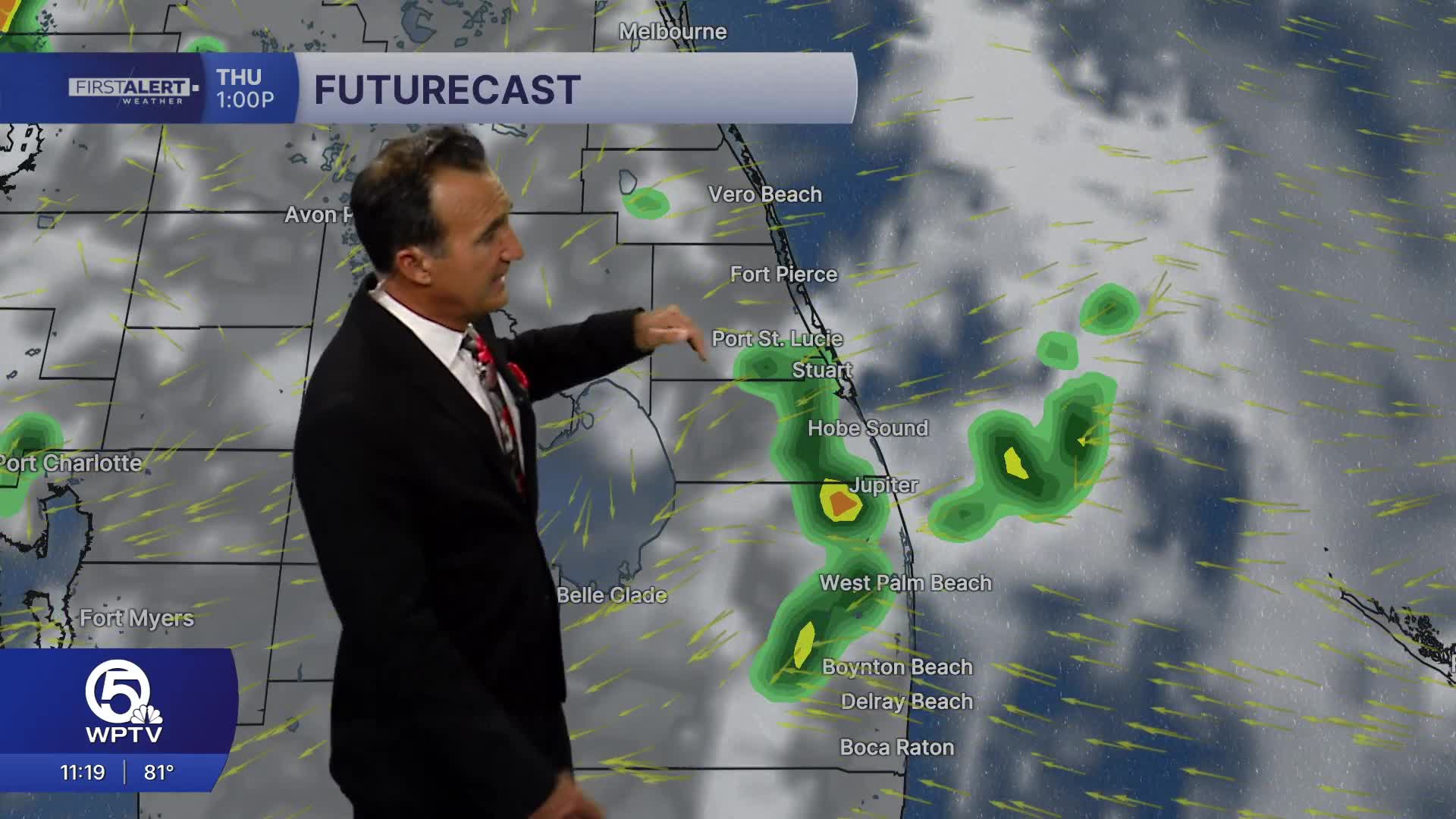
MORE WEATHER: Radar | Alerts | 7-Day Forecast | Hourly Forecast
Scattered thunderstorms will start to develop after about noon, with the greatest concentration from inland Palm Beach County north through areas surrounding Lake Okeechobee.
The highest rain chances will be later in the week as high pressure breaks down and allows for deep moisture to push in.
Main Hazards:
- Frequent lightning
- Heavy tropical downpours are reducing visibility
- Localized street flooding in poor-drainage areas
- Wind gusts 35–50 mph in stronger cells
Timing:
- Morning: Mostly cloudy, isolated showers
- Noon–3 p.m.: Storms begin developing inland
- 3–7 p.m.: Peak thunderstorm activity across the region
- After sunset: Storms gradually weaken, though a few showers may linger
Beach & Boating:
East to southeast winds around 10–15 mph. Beachgoers should keep an eye on the sky this afternoon as storms can move toward the coast with dangerous lightning.
Bottom line: Expect a noticeably stormier afternoon across both the Palm Beaches and the Treasure Coast, with scattered to numerous thunderstorms and pockets of heavy rain. Keep indoor backup plans handy from midafternoon through early evening.
**Portions of this story were assisted by artificial intelligence tools and reviewed by a WPTV journalists to ensure accuracy, clarity, and adherence to editorial standards.


