
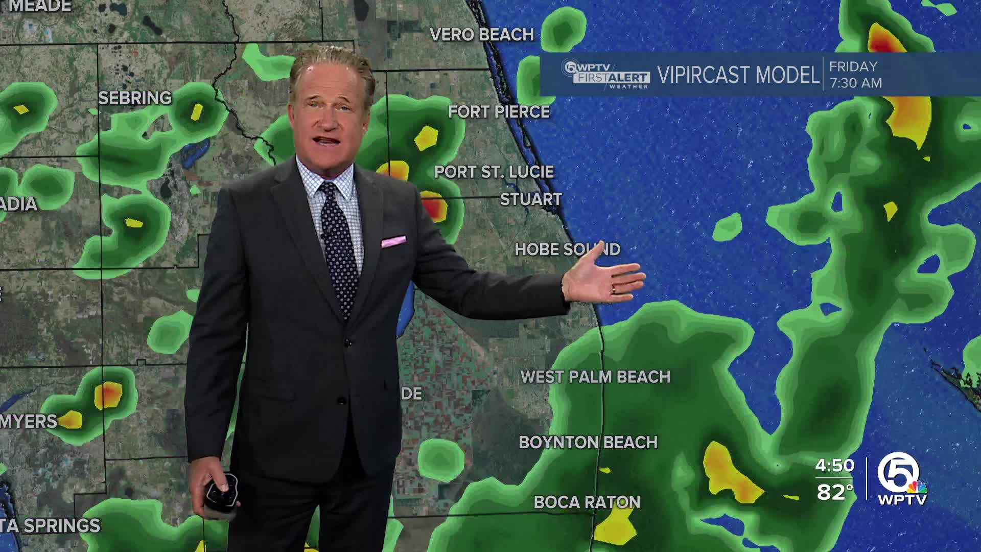


WEST PALM BEACH, Fla. — A stalled cold front to our north is creating on-and-off thunderstorms throughout our area. This is the same system which could spawn a new area of low pressure with tropical/subtropical characteristics.
These storms that are coming from the west could bring very heavy rainfall with gusty winds at times through 7-8p.m. with activity winding down shortly after.
Overnight, we will partially clear out, but a few showers still can't be ruled out.
MORE WEATHER: Radar | Alerts | 7-Day Forecast | Hourly Forecast
For the 4th of July, it doesn't look like it will be a total washout. Downpours and thunderstorms will be scattered-widespread with the first storms arriving late in the morning and continuing through the first half of the evening. Temperatures will reach for the upper 80s, because of all the cloud cover and rain.
Tomorrow, the rain should clear up by 7 p.m. just in time for any fireworks display.

While we are still expecting some rain, the weekend will get progressively nicer as the low pressure system pulls northeast off Florida's coast.
Saturday's forecast features more clouds than sun along with the chance for a few showers and storms. By Sunday, we can expect partly sunny skies and highs in the lower 90s.
Drier weather returns next week.


