


WEST PALM BEACH, Fla. — A typical early-summer weather pattern remains in place across South Florida. Warm, humid conditions will dominate with scattered to numerous afternoon and evening thunderstorms developing along sea breeze boundaries.
MORE WEATHER: Radar | Alerts | 7-Day Forecast | Hourly Forecast
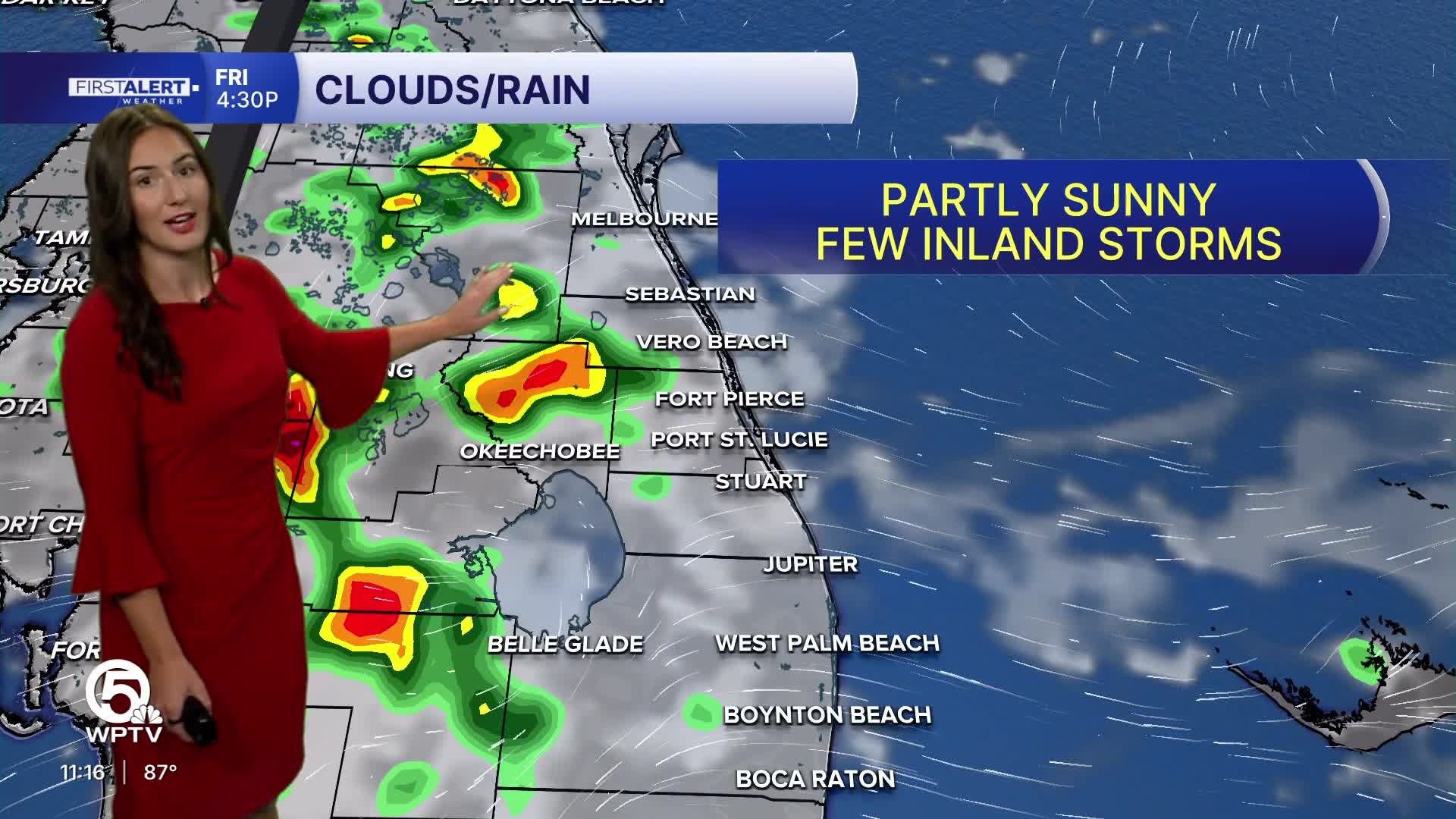
The greatest storm coverage is expected inland from western Palm Beach County toward the Lake Okeechobee region, where stronger heating and boundary collisions will support more robust storm development.
For the coast, expect partly sunny skies and hot temperatures in the upper 80s. Max heat indices of 100-105 possible today through the weekend. Afternoon and evening thunderstorms will become scattered to numerous, especially west of I-95 and toward the interior. Brief heavy rain and gusty winds will be the primary concerns.
Models have been trending a little drier than what they showed earlier in the week.

Expect a hot and humid weekend with sunshine early, followed by scattered afternoon thunderstorms.
The strongest storms are most likely across inland Palm Beach County and the Lake Okeechobee region before moving east toward the Treasure Coast and Palm Beaches during the evening hours. Highs will approach 90.
**Portions of this story were assisted by artificial intelligence tools and reviewed by a WPTV journalists to ensure accuracy, clarity, and adherence to editorial standards.


