
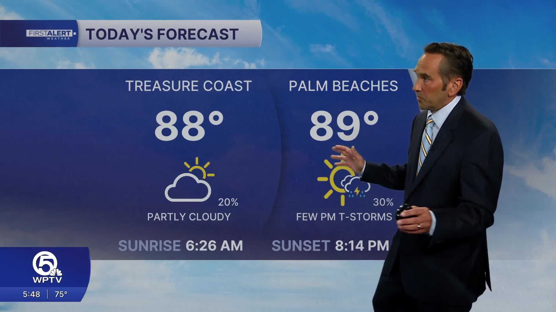


WEST PALM BEACH, Fla. — Warm, humid summer weather continues across the region Thursday with a typical east coast sea-breeze pattern. Expect a mix of morning sunshine and clouds, followed by inland thunderstorm development during the afternoon and early evening.
MORE WEATHER: Radar | Alerts | 7-Day Forecast | Hourly Forecast
High temperatures will reach the upper 80s to near 90 along the coast, with lower 90s possible inland. Heat index values will climb into the upper 90s and may briefly top 100 degrees away from the beaches.
Isolated to spotty late-day showers or storms are possible as inland activity drifts back toward the coast.
Rain chances will increase Friday through the weekend as deeper tropical moisture moves into South Florida. Expect scattered afternoon and evening thunderstorms each day. The highest rain chances during the next few days will be over the middle of the state. This will be welcome news for the Everglades, where extreme drought conditions persist.

Temperatures will start to climb starting this weekend, with highs expected to rise into the 90s. Heat index values will peak between 100 and 105 degrees.
Next week, we will be watching for extreme heat as feels-like temperatures could top 105.
**Portions of this story were assisted by artificial intelligence tools and reviewed by a WPTV journalists to ensure accuracy, clarity, and adherence to editorial standards.


