
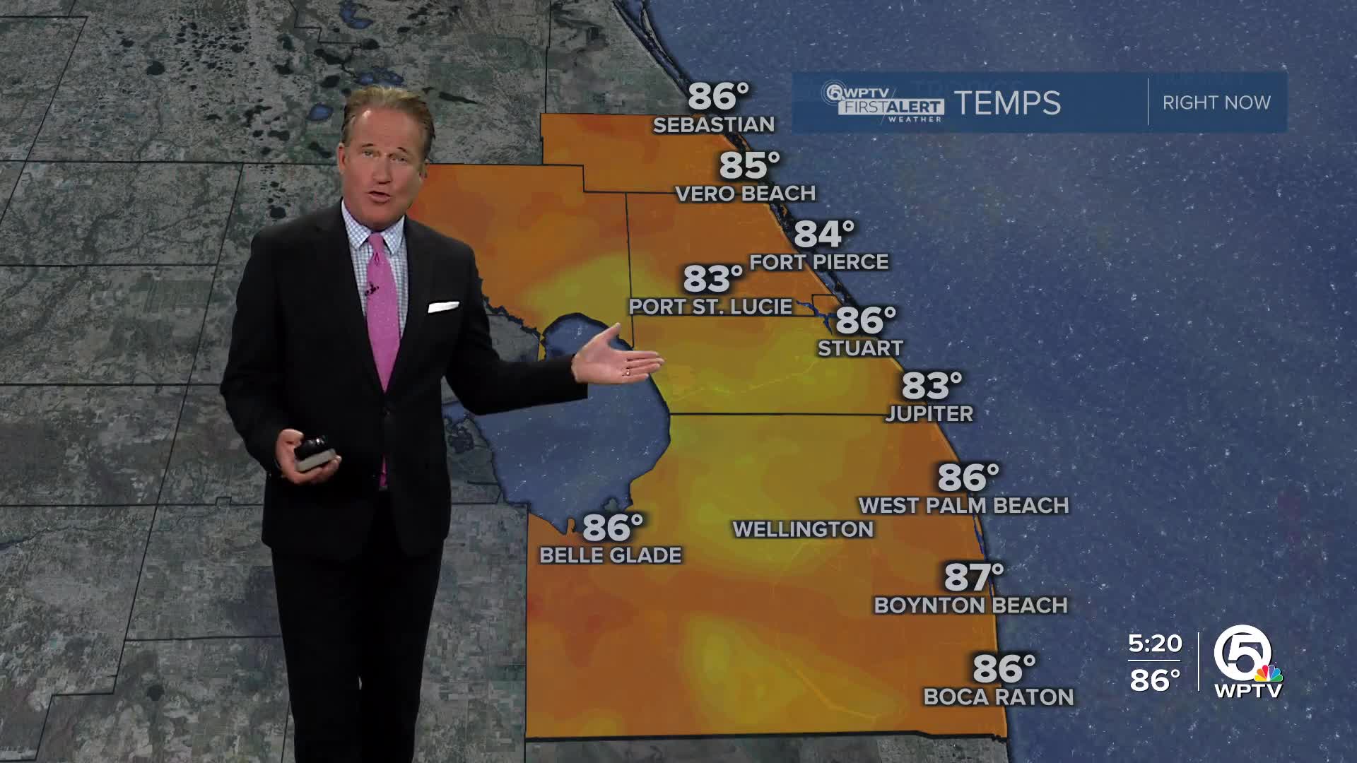


WEST PALM BEACH, Fla. — A stationary front over South Florida has been supplying us with moisture for afternoon and evening storms.
Heavy, slow-moving thunderstorms could create minor flooding of low-lying and flood prone areas. Thunderstorms look to taper off around sunset with only isolated coastal showers possible through the night. Lows will fall into the mid-upper 70s overnight.
MORE WEATHER: Radar | Alerts | 7-Day Forecast | Hourly Forecast
Friday will start off partly sunny and mainly dry through noon followed by scattered afternoon-evening storms. Highs will stay in the upper 80s and lower 90s on Friday.
Rain chances are forecast to drop slowly over the weekend, but more so by early next week.
Saturday and Sunday's forecast features a little more cloud cover along with spotty to scattered storms developing later in the day. Highs will hover near 90.


