


WEST PALM BEACH, Fla. — South Florida can expect a steady warming trend through midweek with slight rain chances starting to creep in.
Overnight, we are watching for patchy, dense fog to develop across the Treasure Coast and inland communities. This could cause visibility issues and may make for a slower morning commute in affected areas.
The fog should lift by 9 a.m., giving way to plenty of sunshine through the afternoon. Highs will climb into the lower-mid 80s.
MORE WEATHER: Radar | Alerts | 7-Day Forecast | Hourly Forecast
Even with the inviting weather, beachgoers should be careful as there's a high risk of rip currents along the beaches Tuesday.
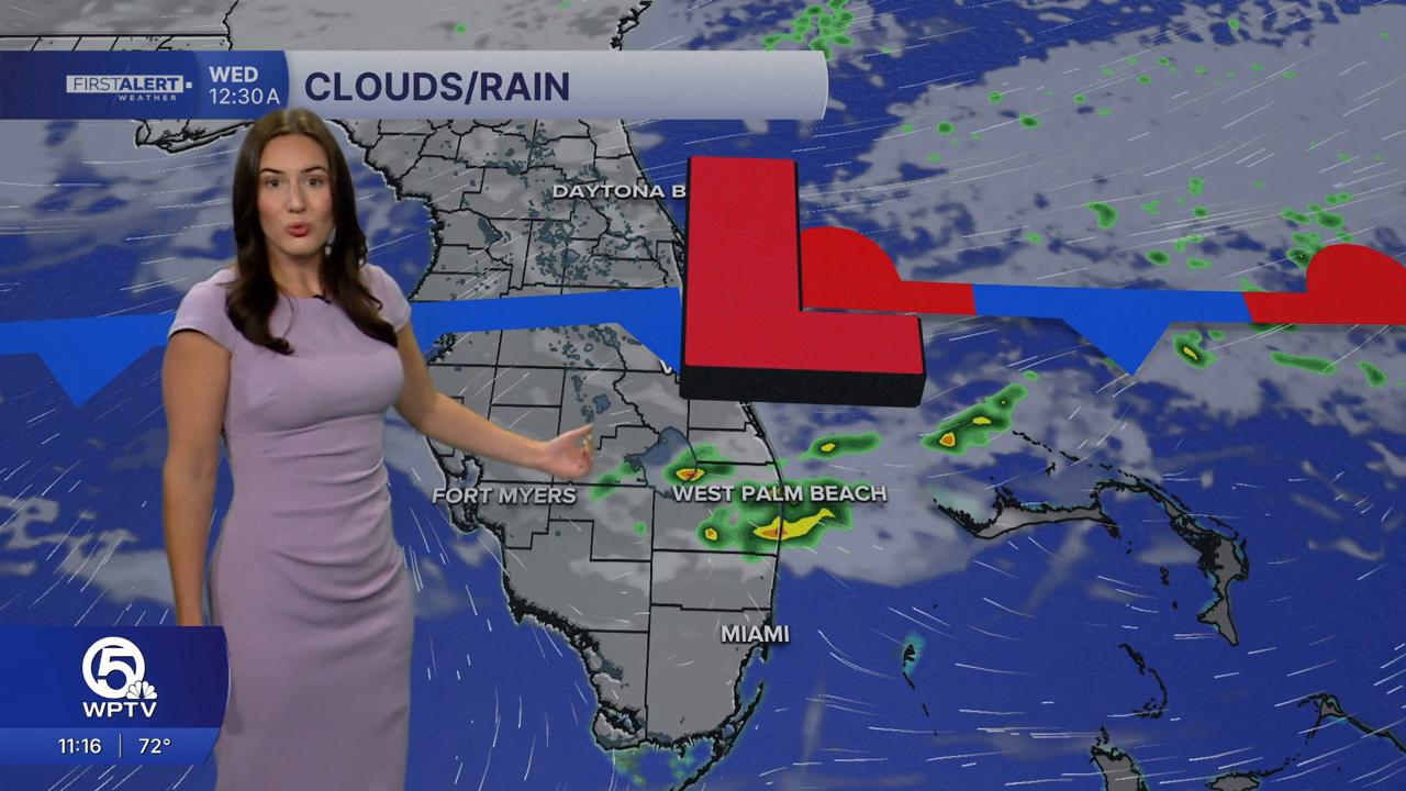
A weakening front will stall just north of the region late Tuesday. While it won’t bring much relief in terms of rain, rain chances will increase starting Tuesday night in the Treasure Coast.

As that fading front drifts a bit farther south on Wednesday, a few spotty showers and even an isolated thunderstorm are possible, mainly around the Lake Okeechobee area and the Treasure Coast. After that, dry and warm conditions return to finish the workweek.
Looking ahead to the weekend, another front may approach from the north, potentially bringing more showers—especially along the east coast—along with breezier winds by Sunday.
**Portions of this story were assisted by artificial intelligence tools and reviewed by a WPTV journalist to ensure accuracy, clarity, and adherence to editorial standards.


