

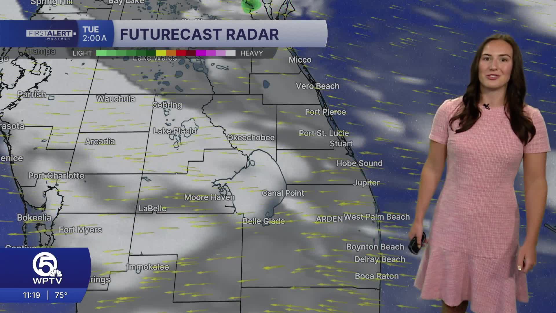


WEST PALM BEACH, Fla. — A windy and unsettled weather pattern continues for the next few days with strong onshore winds and occasional showers.
A strong pressure difference between high pressure to the north and a stalled front to the south is driving gusty easterly winds across the region.
Those persistent onshore winds are also creating very dangerous marine and beach conditions. Seas in the Atlantic remain extremely rough, and the surf along the east coast is hazardous.
MORE WEATHER: Radar | Alerts | 7-Day Forecast | Hourly Forecast
Overnight conditions will stay mainly cloudy and on the mild side as lows will fall into the upper 60s to lower 70s.
The gusty winds will slowly ease on Tuesday but it will remain breezy, and the ocean will take longer to calm down.
Showers will still develop, especially during the afternoon as the sea breeze moves inland, though activity will gradually become more typical for South Florida. Temperatures will reach the upper 70s, near 80 if the sun comes out long enough.
By the middle of the week, a warming trend will take hold, with temperatures climbing above normal and a more familiar pattern of isolated afternoon showers returning. Looking ahead to late week, there are early that a more active weather pattern could develop again, but details remain uncertain.
For now, the biggest concern remains the dangerous beach conditions and gusty winds. If you’re heading outside, especially near the coast, use caution and stay out of the water.


