


WEST PALM BEACH, Fla. — Rain chances begin to increase late in the weekend and into early next week as more moisture moves into the region.
Isolated showers and t-storms are possible overnight. Otherwise, it will be partly cloudy and mild with lows in the upper 60s to lower 70s. Most of Sunday looks to be dry and partly sunny. However, a couple of passing showers are still possible for the coast. As the sea breeze develops in the afternoon, spotty t-storms could develop inland. Highs will reach the lower-mid 80s.
Meanwhile, hazardous beach and boating conditions are expected to continue through the weekend and into next week. Officials are urging residents and visitors to stay out of the ocean, as strong currents can quickly pull swimmers away from shore.
MORE WEATHER: Radar | Alerts | 7-Day Forecast | Hourly Forecast
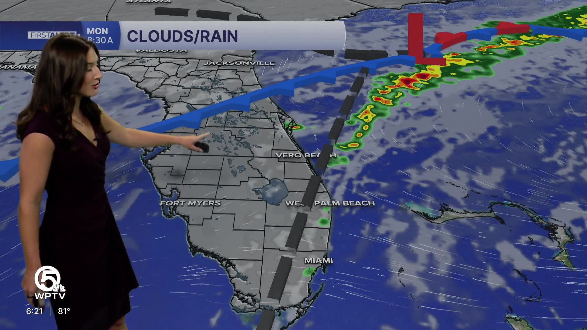
By Monday, scattered showers and a few storms will be possible, particularly inland where sea breeze boundaries collide. A few stronger storms could develop, producing gusty winds and small hail.
On Tuesday, a cold front approaching Florida will bring a more noticeable change in the weather pattern.
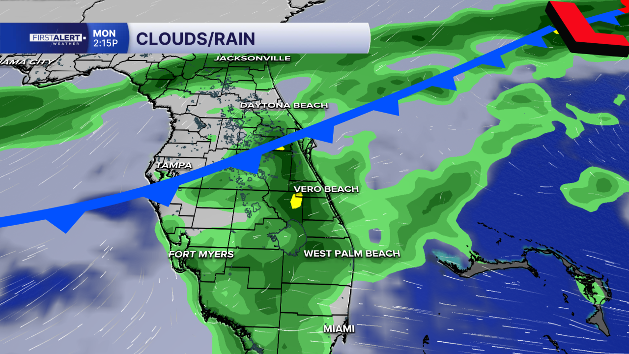
Rain chances rise significantly, with widespread showers and storms expected. Some areas, especially near the coast, could see repeated rounds of rain, raising the potential for localized flooding. At the same time, increasing cloud cover and rainfall will bring cooler temperatures, with highs dropping into the 70s.
Marine conditions will also deteriorate quickly. Winds are expected to strengthen to near gale-force by Tuesday night, with seas building as high as 12 to 16 feet offshore. Combined with widespread showers and storms, conditions will become dangerous for boaters and are expected to remain hazardous through at least midweek.


