


WEST PALM BEACH, Fla. — Unsettled weather continues across South Florida this weekend, and it’s bringing a mix of rain, dangerous surf, and coastal flooding concerns.
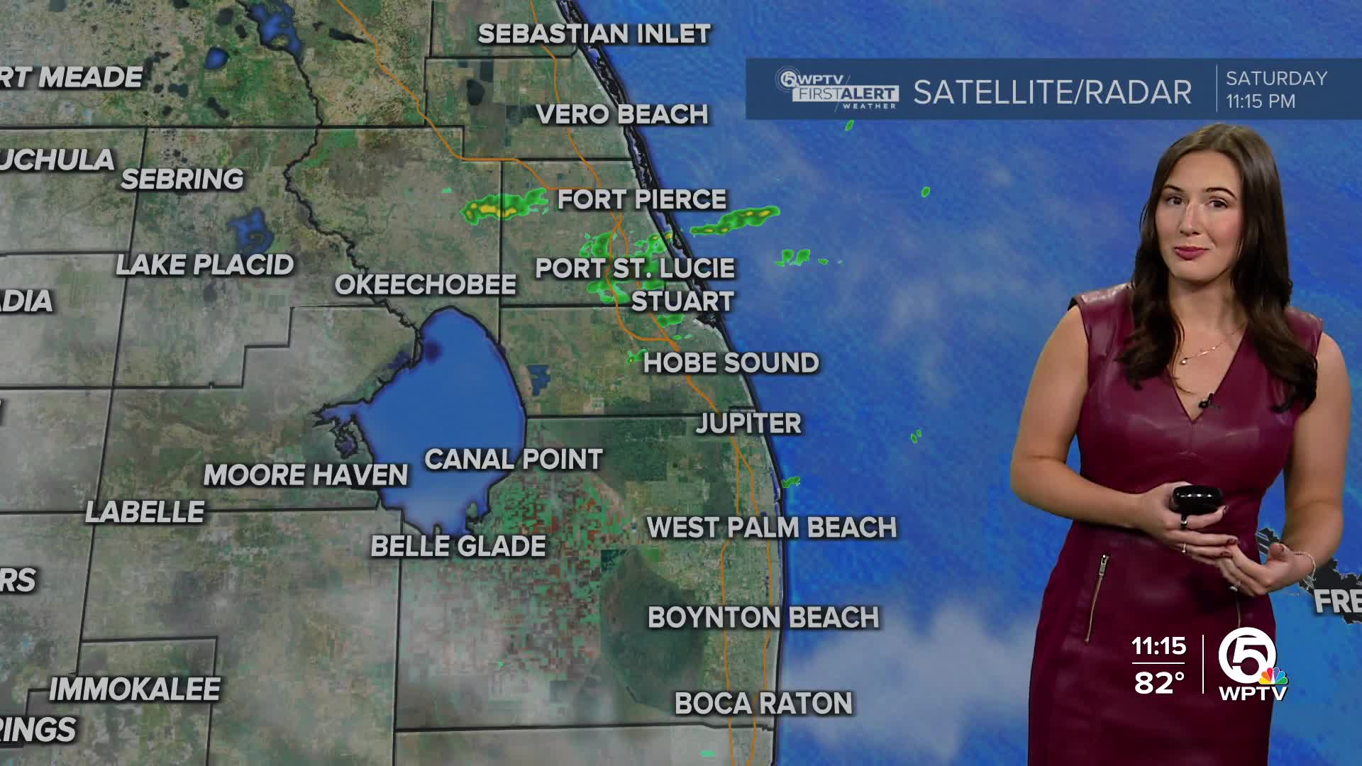
A few showers are possible tonight and overnight. Temperatures will stay on the warmer side, only falling into the upper 70s.
While there has been some drier air mixing in on Saturday, moisture looks to increase on Sunday bringing more scattered rain to the area. The showers will be quick movers, however, downpours may continue to impact the same areas. It will be mostly cloudy and breezy with winds coming out of the east.
Flood Watches remain in effect for the Treasure Coast through Sunday morning as repeated downpours could lead to localized flooding in poor drainage areas.
King tides are also adding to the risk for coastal flooding as high tides will be 1-3 feet above normal. Low-lying roads, docks and yards along the coast/intracoastal could experience minor flooding during high tides through early next week.
MORE WEATHER: Radar | Alerts | 7-Day Forecast | Hourly Forecast
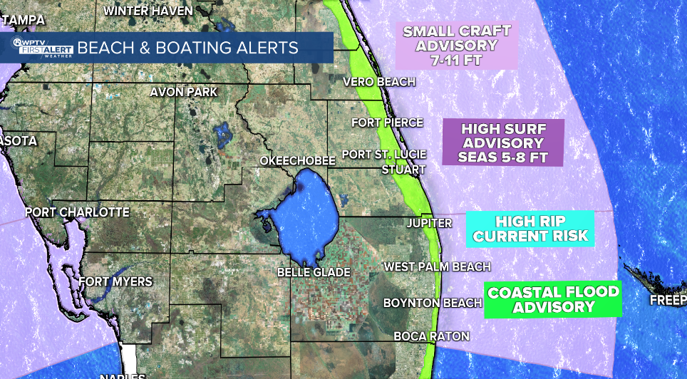
Even if you’re not seeing downpours overhead, the coastline will feel the brunt of this pattern. Large breaking waves of 5–8 feet, high surf, and numerous life-threatening rip currents will continue through the weekend.
Minor to moderate beach erosion is also possible, especially around high tide.
Small Craft Advisories remain in place, with seas running as high as 7–11 feet offshore. Boating and swimming are strongly discouraged.
Unsettled conditions are expected to continue into early next week. Models suggest some improvement by Tuesday or Wednesday, but breezy onshore winds and spotty showers may linger.
Another strong high pressure system is forecast to build over the eastern U.S. mid-week, which could keep the winds up and potentially bring another round of rain later in the week.


