


WEST PALM BEACH, Fla. — New record highs achieved today in Fort Pierce and Vero Beach where temperatures hit 87°. However, be prepared for a total switch-up this week as much below average temperatures makes it to Florida.
MORE WEATHER: Radar | Alerts | 7-Day Forecast | Hourly Forecast
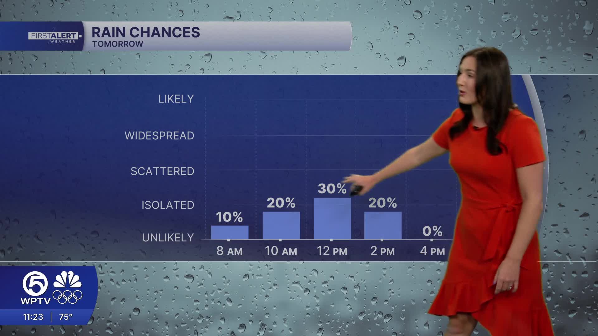
As we head into Monday, a strong cold front will move through our area. Spotty showers are expected to start moving through the Treasure Coast late Monday morning. As the front pushes south throughout the day, it will lose its moisture— so more sunshine and less rainfall is expected the further south you are.
Highs will still reach the upper 70s across the Treasure Coast, while the Palm Beaches warm to the lower-mid 80s. Winds will shift to blow from the northwest behind the front, ushering in much cooler air overnight into Tuesday. Tuesday will be breezy and partly sunny.

Temperatures will stay chilly in the 40s and lower 50s during the next several nights/mornings. The afternoons will stay pretty cool as highs will struggle to get out of the 60s through the rest of the work week.


