
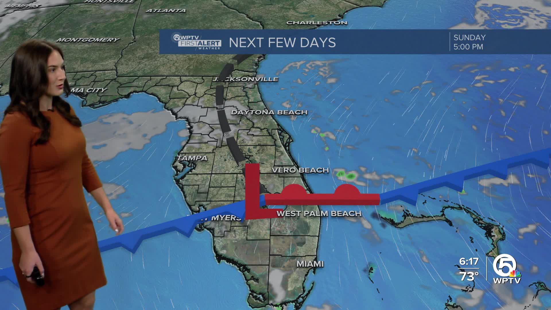


WEST PALM BEACH, Fla. — South Florida’s gradual warming trend continues this weekend as a weak cold front approaches the area. Southwest winds will pick up ahead of the front, occasionally gusting between 15 and 25 mph through Sunday morning.
Clouds will increase Saturday night into Sunday as the front approaches from the north. Moisture levels rise just enough to bring a chance of showers, mainly in the Treasure Coast and before dusk Sunday.
Any rain that does develop will be light and brief, with no severe weather expected and very minimal rainfall totals.
Despite the front, temperatures stay warm. Highs on Sunday reach the low 80s, keeping things feeling more like spring than early January.
MORE WEATHER: Radar | Alerts | 7-Day Forecast | Hourly Forecast
Skywatchers may also notice a bright January “Wolf” supermoon this weekend, appearing slightly larger and brighter than a typical full moon as it passes closer to Earth.
The timing also overlaps with the Quadrantid meteor shower, which is in its peak, though the bright moonlight and clouds may limit how many meteors are visible.
Looking ahead to next week, high pressure builds back in and takes control. That means mostly dry, quiet weather.

Temperatures continue to inch upward, with upper 70s to low 80s early in the week, warming into the low to mid 80s by mid to late week.
Overnight lows will remain comfortable, dipping into the mid to upper 50s inland and mid 60s along the coast.


