


WEST PALM BEACH, Fla. — Warm, breezy, and humid weather continues across the Treasure Coast on Friday as persistent easterly winds remain in place across South Florida.
Most coastal communities, including Sebastian, Vero Beach, Fort Pierce, Jensen Beach, Stuart, Jupiter, and Boca Raton should remain mainly dry through much of the daytime hours.
MORE WEATHER: Radar | Alerts | 7-Day Forecast | Hourly Forecast
The biggest weather story along the coast remains the dangerous surf conditions. A high rip current risk continues at Atlantic beaches through this evening, and beachgoers are strongly encouraged to stay out of the water and follow all posted warning flags and beach advisories.
As the sea breeze pushes inland this afternoon, scattered showers and thunderstorms are expected to develop mainly west of I-95 and toward inland St. Lucie County, Indian River County, and the Lake Okeechobee region.
Storms that develop Friday are expected to remain:
- Isolated to scattered
- Short-lived
- Sub-severe in nature
However, a few storms could still produce:
- Frequent lightning
- Brief heavy downpours
- Gusty winds
The drier air lingering in the mid-levels of the atmosphere continues to limit widespread storm development across the East Coast metro areas today.
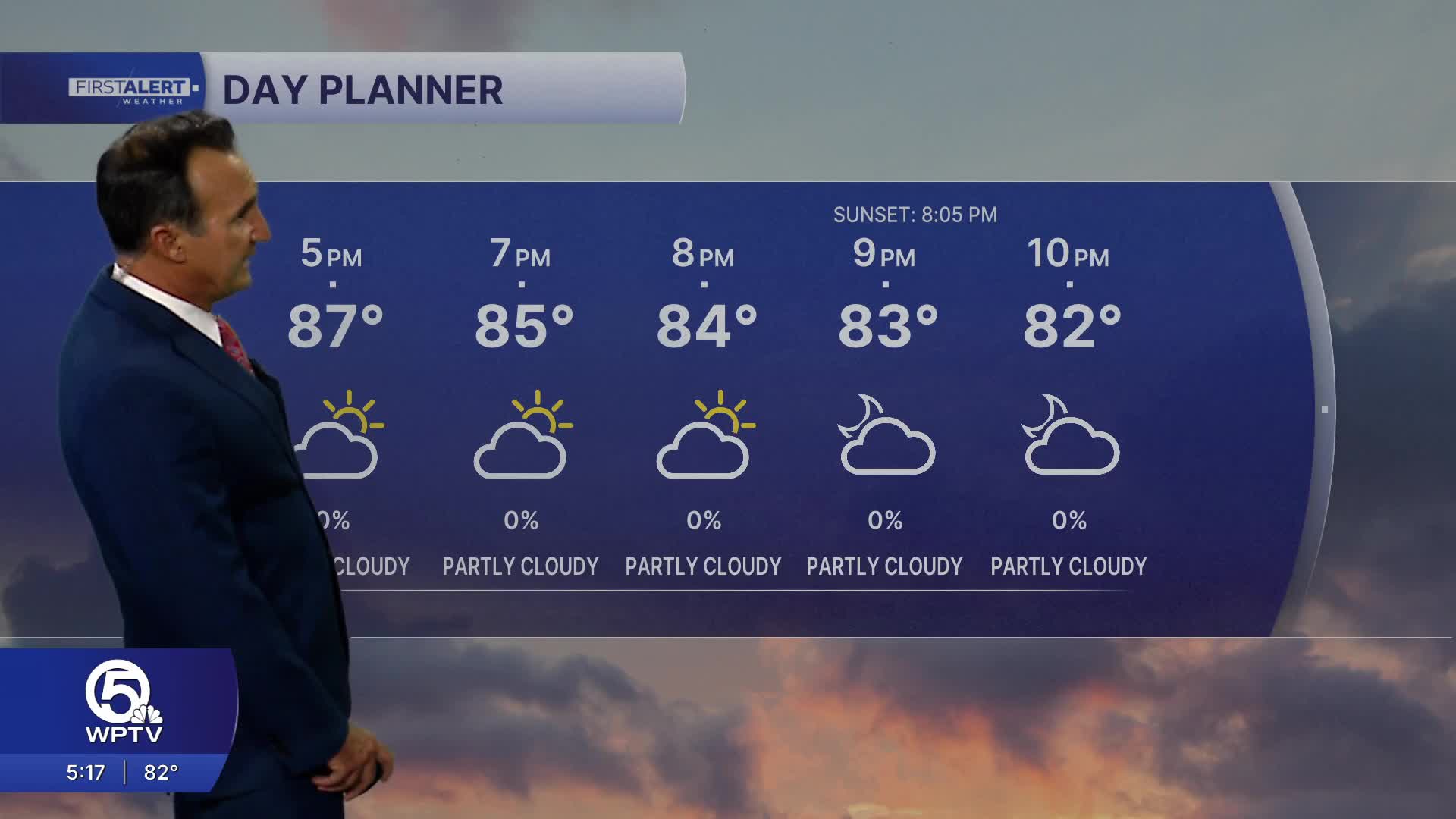
Temperatures this afternoon climb into the upper 80s along the coast, with heat index values pushing into the mid and upper 90s.
The holiday weekend looks warm, humid, and increasingly summer-like across the Treasure Coast and Palm Beaches.
While there will still be plenty of dry time each day, scattered afternoon storms become more common by Sunday and Memorial Day as moisture deepens across South Florida.
Beach communities should continue seeing:
- Breezy conditions
- Dangerous rip currents
- Warm temperatures
- Spotty coastal showers
Meanwhile, inland areas will have the best chance for afternoon thunderstorms each day.
Temperatures through the holiday weekend:
- Upper 80s along the coast
- Lower 90s inland
- Heat index values near or above 100 degrees


