
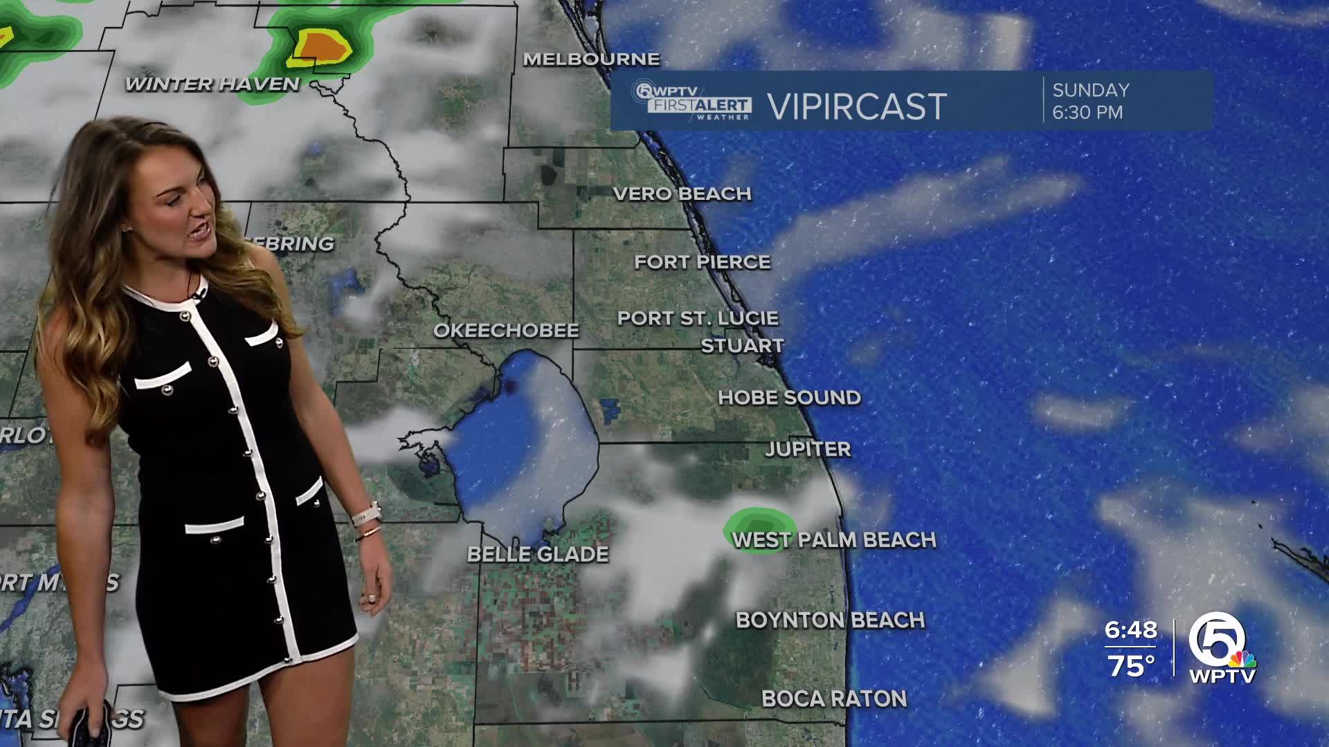


WEST PALM BEACH, Fla. — A mild start to the workweek Monday with morning temps in the mid 70s near the coast and just slightly cooler inland. We'll see a few showers Monday as southeast breezes keep us in the warm sector ahead of an approaching front.
A high risk of life-threatening rip currents remains in effect along all east coast beaches through Monday evening. Onshore winds and a long-period swell are creating dangerous surf conditions. Entering the ocean is strongly discouraged.
MORE WEATHER: Radar | Alerts | 7-Day Forecast | Hourly Forecast
Minor coastal flooding is also possible within 1-2 hours of high tide, thanks to the combination of onshore flow and the approaching new moon. Our high tide times for lake worth pier on Monday are at 9:14 AM and 9:25 PM.
We'll stay warm and humid Monday - before some relief on Wednesday.
An approaching cold front will stall near south-central Florida, keeping a few spotty showers in the forecast over the next two days.
A reinforcing cool front will usher in drier, less humid air by midweek. The temperature drop won't be significant, but it will still feel a little more fall-like here in South Florida.
Winds will be increasing from the east on Thursday and continue into the first have of the weekend. Winds could gust as high as 35 mph.


