


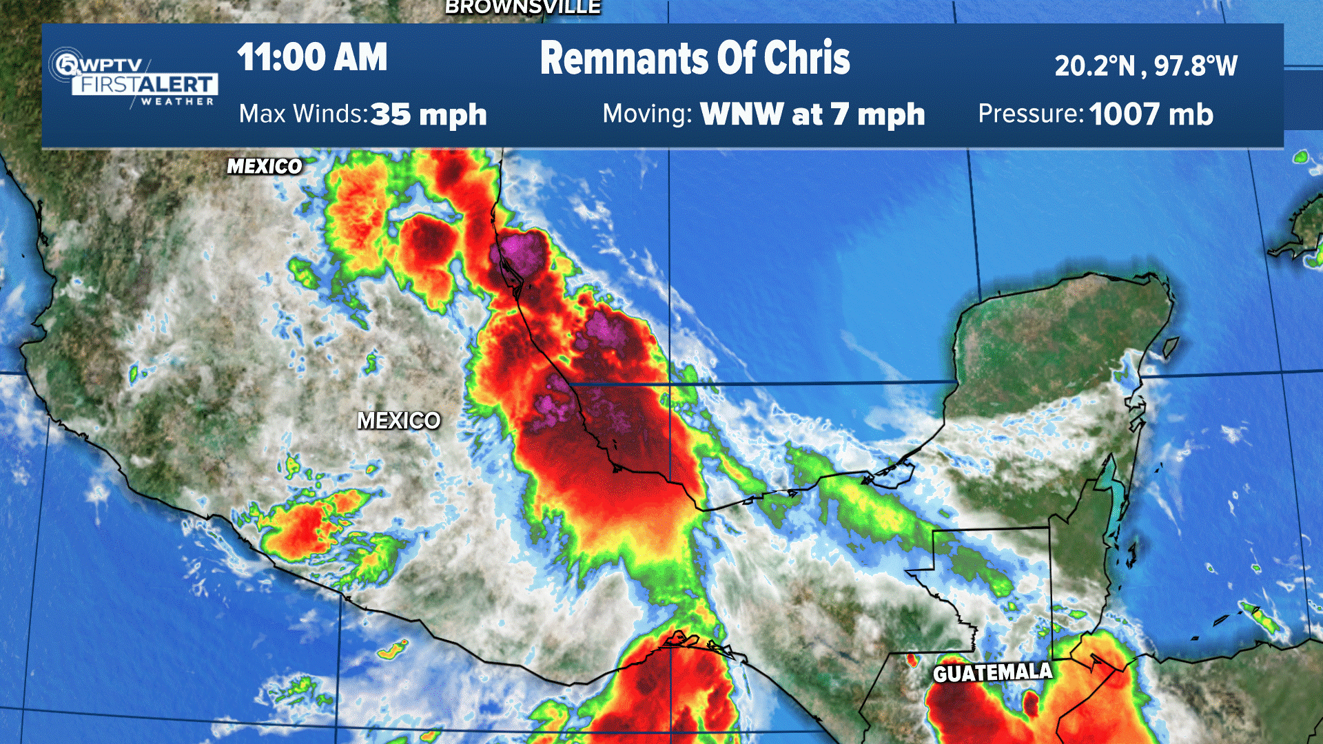
WPTV First Alert Weather meteorologists continue to track a tropical wave moving over the Caribbean Sea, which could affect South Florida's weather next week.
The disturbance, called Invest 98-L, has a high chance of formation and a tropical depression could form over the next couple of days.
As of 11 p.m. Thursday, the system has an 90% chance to form in the next two days and 90% in the next five days.
Models are still taking this into the northern Caribbean Sea early next week, then into the Gulf of Mexico by mid-week.
Satellite wind data and surface observations indicate that an area of low pressure has formed in the southeastern Caribbean Sea, though the associated shower and thunderstorm activity remains disorganized.
The environment is forecast to become more conducive to development, and a tropical depression is likely to form in the next day or so.
RELATED: National Hurricane Center addresses speculation on major tropical system
The system is forecast to move west-northwestward and be over the central Caribbean Sea this weekend where conditions are expected to be favorable for additional development.
Acting NHC Director Jamie Rhome said Thursday that forecasting potential impacts were too early.
"The predictability of systems that haven't formed yet is very, very low," Rhome said. "I want to emphasize that because we can't say too much about potential impacts to the Gulf of Mexico. Until this system actually forms, becomes a well-defined named system, the ability of models, the ability of humans to predict where it is going to go is really, really low."
The Euro model trends toward western parts of Florida. The GFS model is starting to move the center of the system a little more to the west.
TRACKING THE TROPICS: Hurricane Center | Hurricane Guide
The next named storm will be called Hermine.
Meteorologists will monitor this should it develop. Any potential threat to the U.S. coastline would be mid to late next week.
More Florida hurricane landfalls occur in October than in any other month, so it is the peak of the season for Floridians.
Hurricane Fiona heads north after lashing Caribbean
Hurricane Fiona is now a Category 4 hurricane.
According to the 11 p.m. Thursday forecast from the National Hurricane Center, Fiona has 130 mph winds and is moving north, northeast at 21 mph.
The storm is 305 miles west, southwest of Bermuda.
On the forecast track, the center of Fiona will pass just to the west of Bermuda on Thursday night, approach Nova Scotia on Friday, and move across Nova Scotia and into the Gulf of St. Lawrence on Saturday.
A Hurricane Warning is in effect for:
- Bermuda
- Nova Scotia from Hubbards to Brule
- Prince Edward Island
- Isle-de-la-Madeleine
- Newfoundland from Parson’s Pond to Indian Harbour
A Tropical Storm Warning is in effect for:
- St. Andrews New Brunswick to west of Hubbards Nova Scotia
- West of Brule Nova Scotia to Cap Madeleine Quebec
- Anticosti Island
- Sheldrake Quebec to north of Parson's Pond Newfoundland
- Boat Harbor to Hare Bay Newfoundland
- Francois to St Lawrence Newfoundland
A Tropical Storm Watch is om effect for:
- North of Boat Harbor Newfoundland to West Bay Labrador
Tropical Storm Gaston poses no threat to U.S.
Gaston remains a tropical storm and could have impacts across the Azores tomorrow.
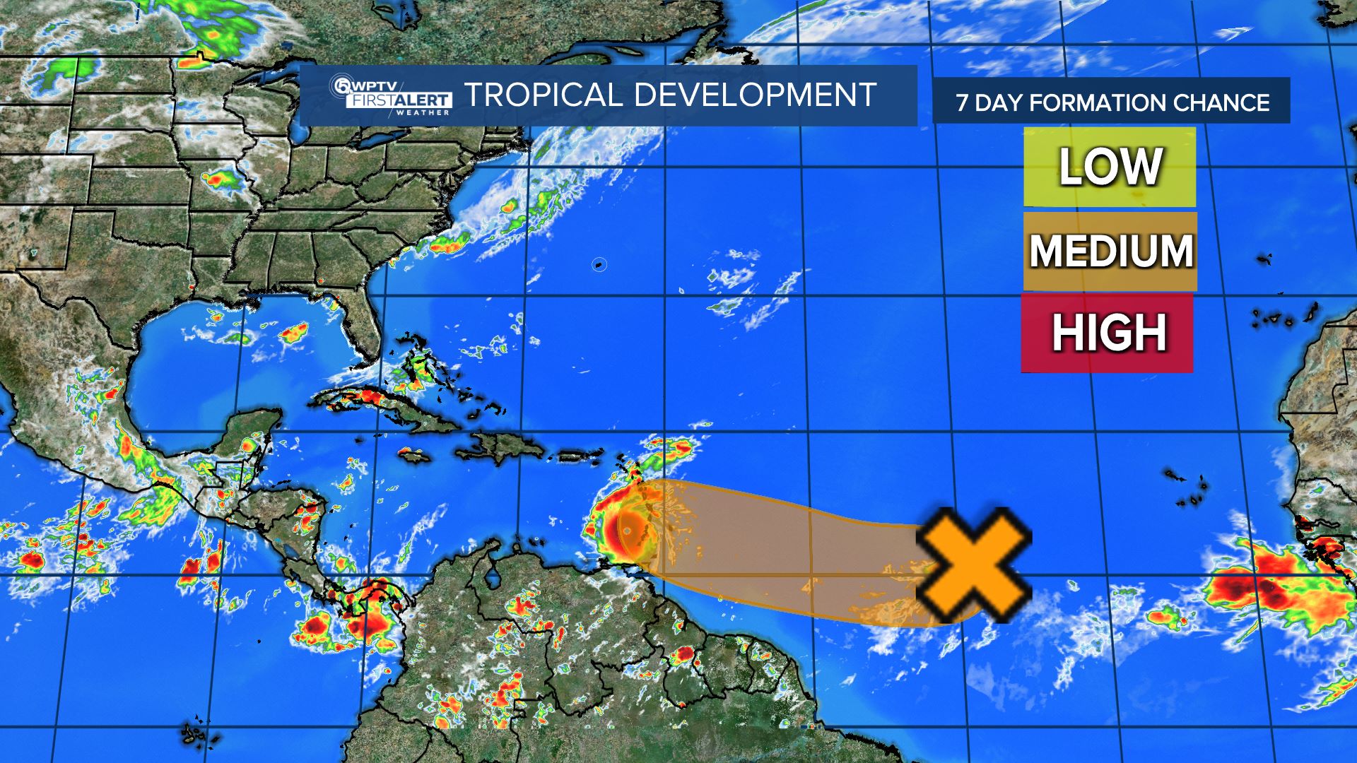
Two waves in the Atlantic
One wave just off the coast of Africa has a 60% chance of development in five days. Another wave in the Atlantic has a 30% chance in five days.


