

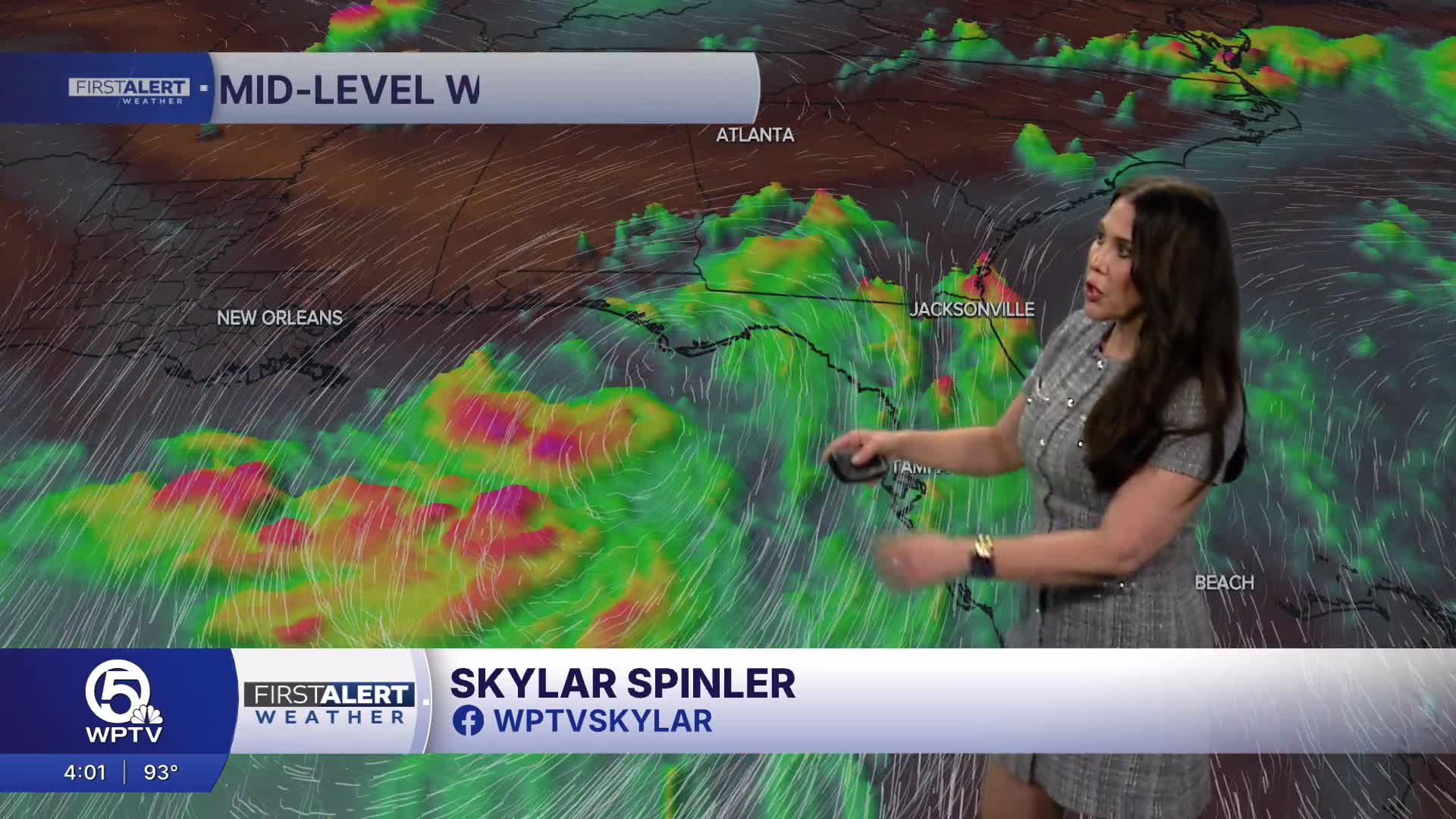


WEST PALM BEACH, Fla. — A tropical storm watch is in effect for areas of the Gulf Coast, including much of the Florida Panhandle, as Tropical Depression Two continues to get better organized.
The system is expected to strengthen, possibly bringing tropical storm conditions to parts of the Panhandle Monday night into Tuesday.
WATCH: Tropical Depression 2 expected to become Bertha
TRACKING THE TROPICS: Hurricane Center | Hurricane Guide
A tropical storm watch is now in effect from the Ochlockonee River in Florida westward to the Jefferson/Plaquemines Parish border in Louisiana. A Storm Surge Watch is in effect for the Alabama/Florida Border to the mouth of the Mississippi River.
The National Hurricane Center (NHC) expects this system to become Tropical Storm Bertha later Monday.
The tropical depression is moving erratically toward the northwest near 3 mph. A slow northwestward motion is expected through Monday, followed by a turn toward the west-northwest or west.
"Hurricane Hunters found the pressure dropping, but the winds haven't picked up yet, and the convection is still a little sparse near the center," WPTV First Alert Weather meteorologist James Wieland said. "The new track is slightly north or the old one. And the intensity has been toned down due to it being closer to land and also the shear picking up. It may only briefly become a tropical storm Tuesday and Wednesday before dissipating by the end of the week."
The NHC said that on the forecast track, the depression will move near or along the northern Gulf Coast during the next several days.
Maximum sustained winds are near 35 mph with higher gusts.
After that, additional gradual strengthening is expected through Tuesday.
The depression is expected to produce rainfall amounts of 2 to 4 inches with isolated higher totals around 8 inches through Friday along the Gulf Coast and adjacent inland locations from western Florida to the Middle Texas Coast, including southern portions of Alabama, Mississippi, and Louisiana.


