


An Air Force Reserve Hurricane Hunter plane has found Gabrielle sstrengthened to become the second hurricane of the Atlantic season.

TRACKING THE TROPICS: Hurricane Center | Hurricane Guide
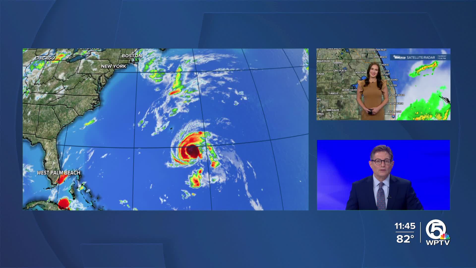
With 75 mph winds, Gabrielle is moving toward the northwest at about 12 mph. The hurricane is being steered by high pressure over the central Atlantic.
The hurricane is expected to gradually curve to the north and then northeast over the next few days, keeping it well east of Bermuda on Monday.
It is forecast to become a major category 3 hurricane, briefly, before it eventually encounters cooler waters and stronger winds aloft, which will lead to weakening later in the week.
For Bermuda, the odds of a direct hit are decreasing, but residents there should continue to monitor updates in case of any shifts in the track. Some gusty winds and rainfall are still possible.
Even as Gabrielle stays out to sea, the system will send large swells across the Atlantic.
Dangerous surf and rip current conditions are expected along Bermuda’s coast as well as the U.S. East Coast from the Carolinas northward, and eventually into Atlantic Canada early this week.
Beach goers are urged to use caution and pay attention to local alerts.
The National Hurricane Center is now tracking two tropical waves for potential development. At this time, neither pose a direct threat to Florida but it is something that we will continue to monitor as it is still too early to tell exact movement.
The newer area, highlighted in yellow, is over 500 miles away from the Windward Islands. It currently has a low chance of developing within the next few days, however some slow development is possible. Regardless of development, the Lesser Antilles are still expecting an increase in storm activity as it approaches the islands.
The other tropical wave moving across the central Atlantic is producing disorganized showers and storms. While development is unlikely in the next couple of days, conditions could become more favorable towards the middle-latter half of the week. The National Hurricane Center gives the system a 60% chance of developing into a tropical depression within 7 days as it tracks west-northwestward.


