



WEST PALM BEACH, Fla. — The tropics are heating up as the peak of hurricane season approaches.
Tropical Storm Cristobal, which formed in the central Atlantic Ocean on Wednesday, was a short-lived storm, dissipating in 24 hours. No land was impacted.
TRACKING THE TROPICS: Hurricane Center | Hurricane Guide

2 Other Systems Being Monitored
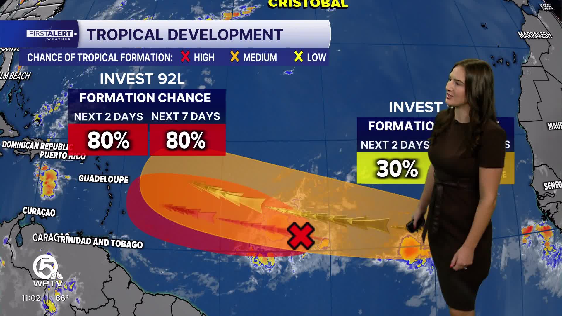
The NHC is also monitoring an area of low pressure in the central tropical Atlantic. The disturbance has an 80% chance of developing into a tropical depression as the system moves westward to west-northwestward across the central tropical Atlantic. However, starting Friday, upper-level winds are likely to become too strong for further development as the system approaches the Lesser Antilles.

A second system is just off the coast of west Africa, producing disorganized showers and thunderstorms. This system now has a 50% chance of tropical development over the next seven days as it moves west-northwest across the eastern and central tropical Atlantic. A tropical depression could form late this week or weekend.
None of these systems will impact the U.S.
The next tropical storm that forms would take the name Dolly.
Hurricane season lasts through November, peaking in mid-September.


