


WEST PALM BEACH, Fla. — We're tracking a weak cold front expected to move through South Florida Monday, bringing a few showers to the area overnight into early Monday morning, followed by slightly cooler, drier air.
Wake-up temps start in the mid 60s for the Treasure Coast and near 70 degrees in the warmer spots of Palm Beach County.
MORE WEATHER: Radar | Alerts | 7-Day Forecast | Hourly Forecast
Any showers we see will be short-lived as the front pushes south. We aren't expecting any thunderstorms.
Behind the front, highs on Monday will dip into the low to mid-70s north of the Treasure Coast and upper 70s to near 80 farther south. Lows will fall into the 50s and low 60s Monday night—our coolest air of the season so far for some inland areas.
Northerly winds behind the front will pick up to 15–20 mph Monday, building seas to 5–7 feet offshore. Boating conditions will remain choppy through midweek.
The combination of higher astronomical tides and onshore winds could lead to minor coastal flooding at times along the Atlantic beaches early this week. Our next Full Moon is on November 5th.
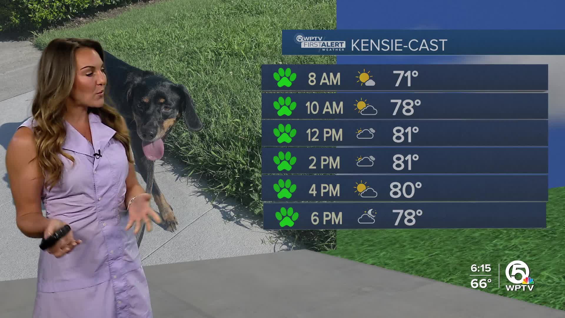
Temperatures will be gradually warming up throughout the week back to the lower 80s.


