


WEST PALM BEACH, Fla. — Now that the rain has cleared up for the night, it will be mostly cloudy with lows in the mid 70s.
MORE WEATHER: Radar | Alerts | 7-Day Forecast | Hourly Forecast
WPTV First Alert Weather Forecast for Night of Sunday, Aug. 24, 2025
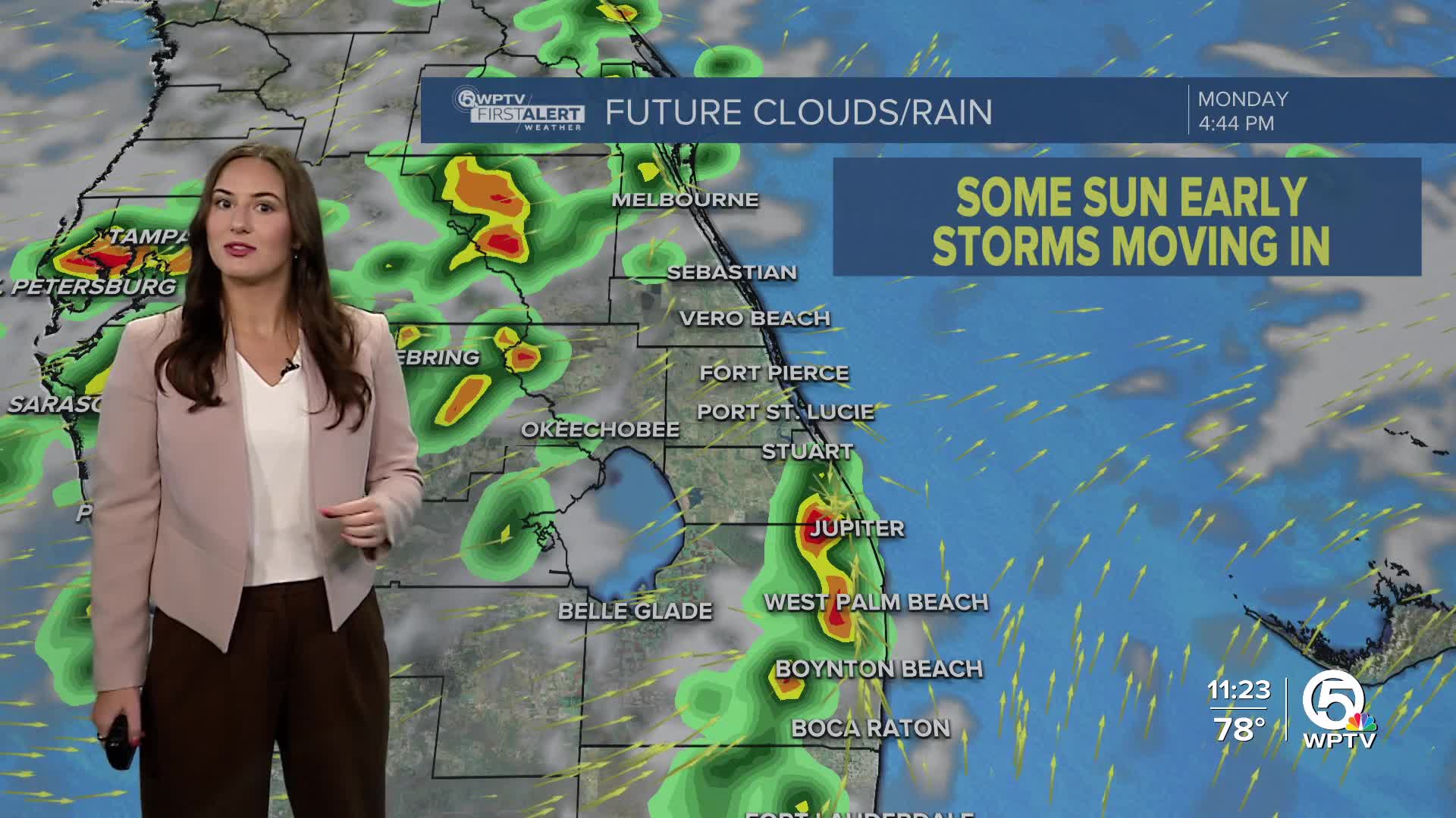
In the week ahead, we are tracking unsettled weather as rain chances remain high each day.
The first half of Monday looks pleasant with partly sunny skies. Highs will head into the lower-mid 90s. Thunderstorms look to move in from the west after 1-2 p.m.
Rip currents remain high for our beaches through Tuesday morning.

wptv
A cold front will drop into the southeast and stall to our north, keeping plenty of moisture around. While the heat has been intense lately, highs will ease back near the average for late August, near 90 toward the mid-latter part of the week.


