


WEST PALM BEACH, Fla. — Our beautiful weekend weather continues thanks to our big area of high pressure keeping things quiet.
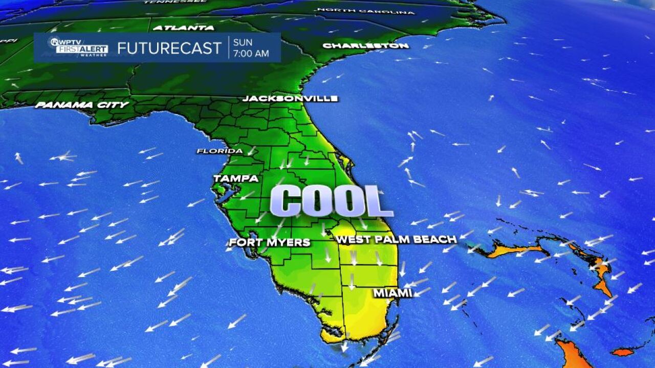
Look for wake-up temps on Sunday in the upper 50s and low 60s for most regions with light north winds.

MORE WEATHER: Radar | Alerts | 7-Day Forecast | Hourly Forecast
Our chamber of commerce weather starts to change on Sunday as a weak cold front approaches from the north. That system will likely bring in enough moisture for just a few showers.
Don’t expect a washout, but some coastal showers will likely pop up after lunchtime.
Temperatures will rebound slightly Sunday, reaching the low 80s before dropping again Monday behind the front. Overnight lows stay mild in the 60s.
MARINE & BEACH OUTLOOK:
Boating conditions remain favorable through Sunday with light northeast winds and seas around 2 feet. Conditions will turn rougher early next week as winds pick up behind the front, increasing seas to 4–7 feet by Tuesday.
A moderate risk of rip currents continues along Palm Beach County beaches this weekend, use caution if you plan to swim.
The rest of next week looks mostly dry and gradually warmer, with highs back in the low 80s by midweek.


