
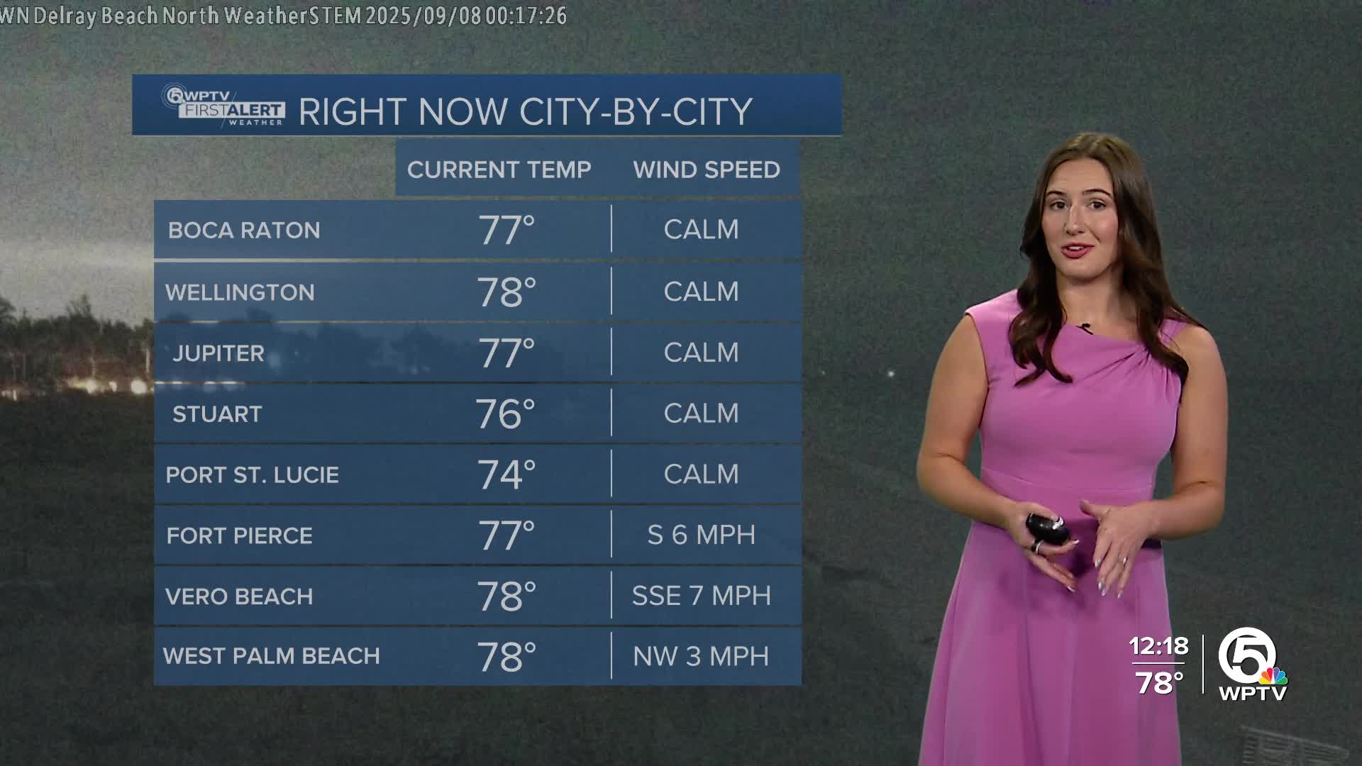


WEST PALM BEACH, Fla. — A very humid and unsettled weather pattern continues across South Florida.
Isolated showers are still possible overnight. The sky will partially clear out by morning.
MORE WEATHER: Radar | Alerts | 7-Day Forecast | Hourly Forecast
Rain and storm chances will stay high Monday through Wednesday as a stalled front lingers across North and Central Florida.
With plenty of moisture in place, daily rounds of showers and storms are expected, and some areas could see repeated downpours that may lead to minor flooding. Temperatures will stay near 90 degrees, though it will feel closer to 100 at times.
By Thursday, slightly drier air may begin to work in, but scattered to numerous storms are still likely across the area.
Toward Friday and into the weekend, the 'cool' front slips farther south into South Florida. That shift will bring lower rain chances, especially compared to earlier in the week.
Highs will dip into the mid-to-upper 80s, a little cooler than normal for this time of year, and breezy northeast winds will develop along the coast.


