


WEST PALM BEACH, Fla. — We are tracking an unsettled week ahead for the Treasure Coast and Palm Beaches. A few coastal showers are possible Monday morning. We will get some sunshine to come out, however, scattered showers and thunderstorms will develop during the afternoon hours. Highs will reach for the lower 80s.
On Tuesday, a cold front approaches the area bringing widespread showers and storms into the forecast.
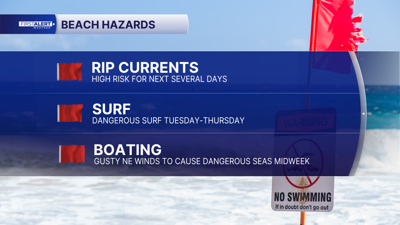
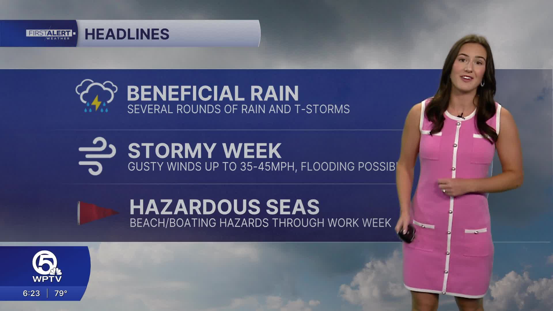
Areas near the coast could see repeated rounds of rain over the next several days, increasing the risk for localized flooding. The latest forecast is anticipating 2-4 inches of rain with isolated higher amounts through Thursday.
It will also get quite windy midweek with gusts up to 35-45 mph.
MORE WEATHER: Radar | Alerts | 7-Day Forecast | Hourly Forecast
Boating conditions also go downhill fast. Winds strengthen to near gale-force by Tuesday night, with seas building.
Combined with storms, beach and boating conditions remain dangerous and will stay rough through the work week.