


WEST PALM BEACH, Fla. — South Florida will stay unsettled through at least the next 48 hours.
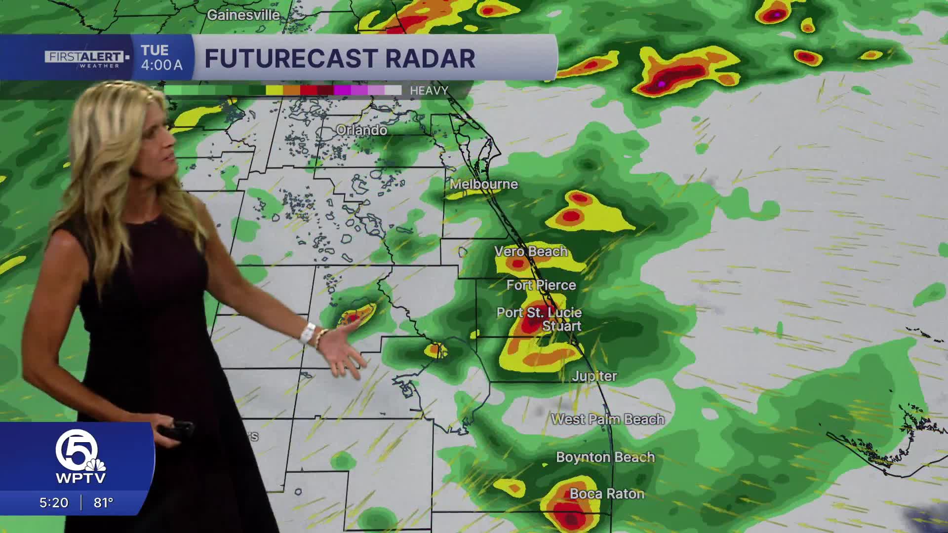
The majority of the viewing area is under an excessive rainfall threat both Tuesday and Wednesday. Heavy downpours could produce localized flooding - especially in urban areas.
Winds will pick up Tuesday with gusts as high as 35 - 40 mph. A wind advisory is in place from Tuesday 5 p.m. until Wednesday 8 a.m.
The persistent easterly winds will create dangerous boating conditions with seas as high as 6 feet on Tuesday. A high risk of rip currents will make ocean swimming dangerous.
There could be some coastal beach erosion and extra high tides.
MORE WEATHER: Radar | Alerts | 7-Day Forecast | Hourly Forecast
Rainfall totals will vary, but some areas—particularly along the coastal metro areas—could see a few inches of rain in a short time. Strengthening onshore winds will pull in more moisture from the Atlantic, helping storms redevelop and linger near the coast.
The pattern begins to ease later in the week, with fewer showers by Thursday and a gradual return to warmer, drier conditions heading into the weekend.
Highs return to the low 80s Saturday and Sunday with low-end rain chances.
**Portions of this story were assisted by artificial intelligence tools and reviewed by a WPTV journalists to ensure accuracy, clarity, and adherence to editorial standards.


