


WEST PALM BEACH, Fla. — A drier air mass has settled into South Florida with light northerly winds on the western side of a developing low just off the Southeast U.S. coast. Plus, the stalled front that lingered over the area most of last week has shifted into the Florida Straits, leaving behind lower moisture levels... For now.
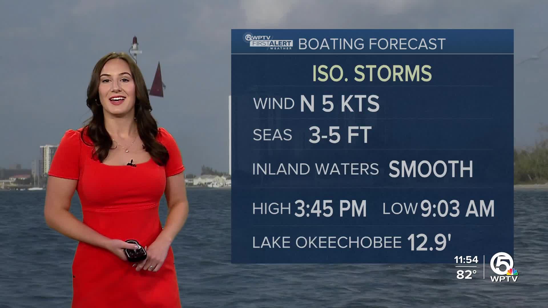
These factors will keep rain chances lower through Tuesday, however, a few showers or thunderstorms are still possible during both afternoons as the sea breeze pushes inland.
MORE WEATHER: Radar | Alerts | 7-Day Forecast | Hourly Forecast
Monday will be nice and partly sunny with the chance for spotty downpours or thunderstorms. Highs will approach 90.
Deeper tropical moisture will return midweek, pushing rain chances higher by midweek. Localized flooding could become a concern, especially in urban and poor drainage areas.
The Weather Prediction Center has already highlighted South Florida in a Marginal Risk (level 1 of 4) for excessive rainfall on Wednesday and Thursday.
An active stretch of weather is becoming increasingly likely through at least the end of the work week.


