


WEST PALM BEACH, Fla. — A nice, yet warm night under a mostly clear sky. Lows will fall into the mid-upper 80s by morning.
MORE WEATHER: Radar | Alerts | 7-Day Forecast | Hourly Forecast
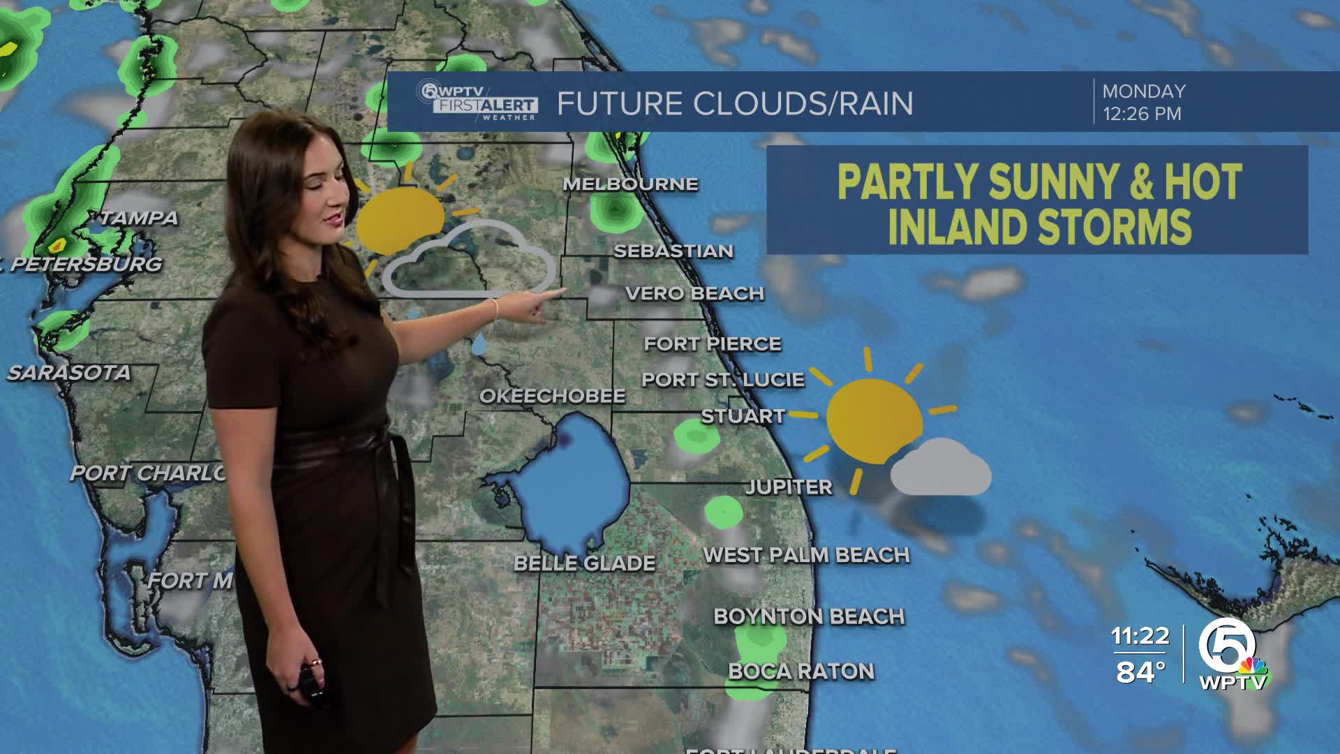
On Monday, it will be hot under a mostly-partly sunny sky. While a stray downpour is possible for coastal communities, most of the storms look to setup further inland during the afternoon. Highs will head into the lower 90s with feels-like temperatures near 100-105.
On Tuesday, we will start to see a northeasterly breeze as Erin makes its closet approach. That will allow for spotty showers and storms fire up in the Treasure Coast Tuesday with storms shifting further inland later in the day.
As we continue to monitor Erin, swells generated from the growing hurricane will arrive along our coast this week. We are anticipating coastal hazards including: a high risk for dangerous rip currents, high surf, and dangerous boating out in the Atlantic.

The highest risks will be along the Treasure Coast beaches and further north. While dangerous rip currents are expected to begin Monday, choppy waves are forecast to arrive on Tuesday. Dangerous boating conditions will develop near inlets.
We are also watching for the chance of minor beach and dune erosion.
Wednesday will also be a bit breezy as the winds shift to come from the northwest. The storm setup will be further inland and more isolated than scattered.
Higher rain chances return on Thursday with scattered showers and storms across our entire area.
We will maintain decent rain chances each day as we head into the weekend. Highs will stay in the lower 90s with overnight lows in the mid-upper 70s.
TROPICS:

In addition to Erin, the National Hurricane Center is monitoring a tropical wave moving west-northwest in the central tropical Atlantic. There's a 40% chance of development at this time. It's still too early to tell the intensity of the system and where it will go. We will keep you updated as we learn more this week.


