



WEST PALM BEACH, Fla. — Most areas hit highs ranging from 93-95° on Saturday with our hottest spot in West Palm Beach, breaking an almost 100-year-old record at 96°. Vero Beach also tied the record of 94°.

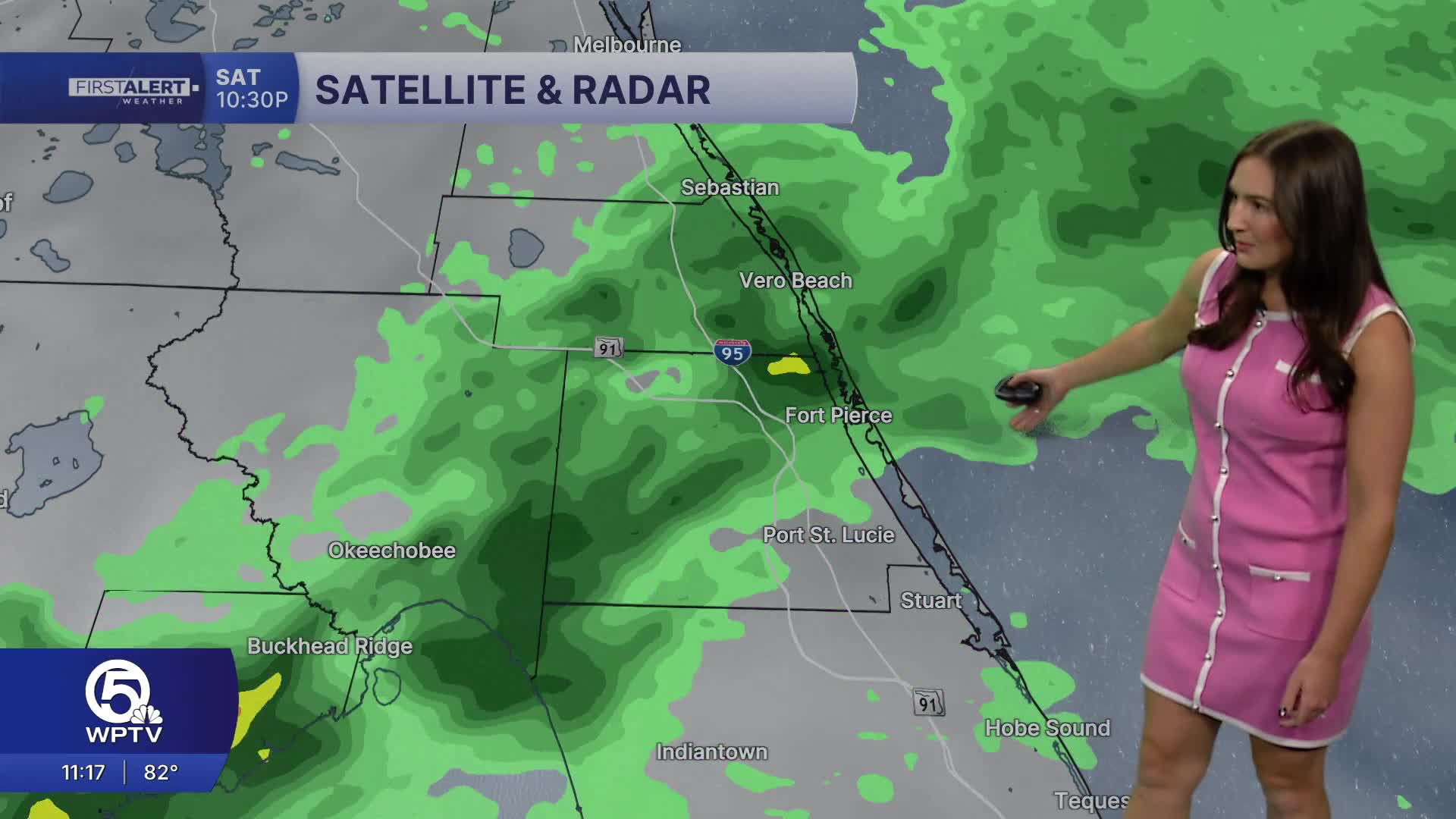
We do have relief on the way! A cold front is pushing through overnight, bringing scattered showers and thunderstorms into Sunday along with cooler temperatures.
Expect storms with pockets of heavy downpours on Sunday resulting in isolated flooding in southern Palm Beach County— not widespread, but keep an eye out in low-lying areas.
Highs will be cooler, upper 70s near Lake Okeechobee, low-to-mid 80s elsewhere

MORE WEATHER: Radar | Alerts | 7-Day Forecast | Hourly Forecast
Early next week, the winds will shift to come out of the northeast with gusts up to 25 MPH. On Monday, temps will stay slightly below average in the upper 70s-lower 80s.
The rain and clouds will slowly clear out. The rest of the forecast features a partly sunny sky with occasional, passing showers and highs climbing throughout the week.


