


WEST PALM BEACH, Fla. — It was a beautiful, yet hot Saturday. Overnight low temperatures will stay on the warm side with inland spots and the Treasure Coast in the mid-upper 70s and the Palm Beaches falling near 80 before sunrise.
MORE WEATHER: Radar | Alerts | 7-Day Forecast | Hourly Forecast
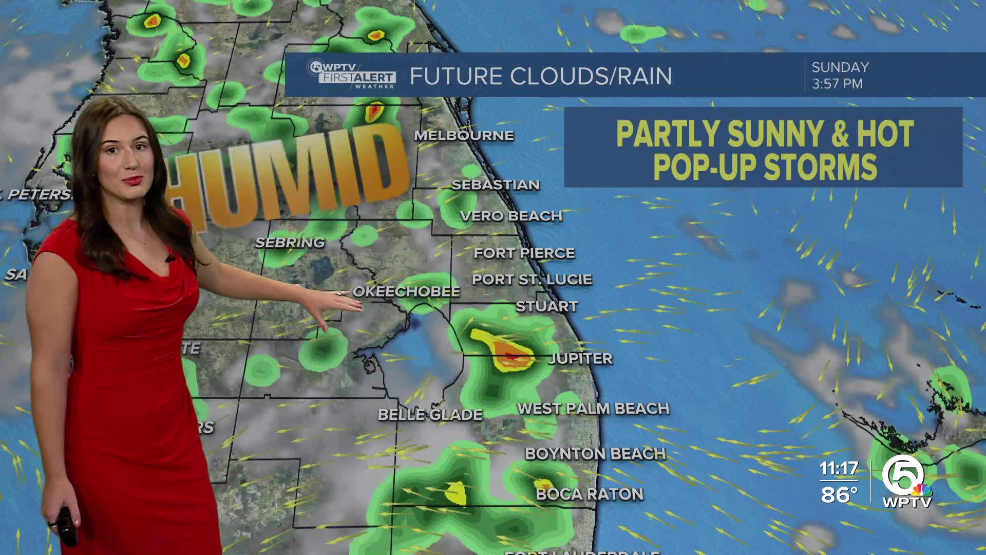
Sunday will be a hot and humid day with slight rain chances. The day will partly sunny. A stray shower is possible near the coast in the mid-late morning. Spotty storms will set-up along the sea breeze in the afternoon. High temperatures will head into the lower 90s with heat indices nearing 105.
Spotty showers and thunderstorms will be possible each day as the sea breeze moves inland. Slightly drier air will arrive towards the middle half of the week as Erin pulls further from our coast. Rain chances will hover near 40-50% with the highest chances over our far inland communities. High temperatures will stay in the lower 90s.
Water conditions will be hazardous starting Tuesday due to indirect impacts from Hurricane Erin. High rip current risk and increased wave heights starting Tuesday and continue through Friday.
We are also keeping an eye on an area in the central tropical Atlantic. The National Hurricane Center (NHC) has highlighted the area with a 20% chance of tropical development within the next week as it moves west-northwest.

Right now, models are not agreeing on whether this system will come together or not. The First Alert Weather Team will update you with the latest developments as we learn more.


