

WEST PALM BEACH, Fla. — Sunday's rain looks to be even more widespread than Saturday as an unsettled pattern sets up across the Palm Beaches and Treasure Coast.
Wake-up temps start in the mid 70s inland to near 80 degrees along the coast with high temps peaking in the low to mid 90s. Heat index values values will range between 103 to 108 degrees.
Be sure to stay hydrated, take frequent breaks in the shade or air conditioning, and limit strenuous outdoor activity during the hottest part of the day.

As high pressure sinks south in the Gulf and a front lingers across the southeast - our winds become southwesterly. This will push the west coast sea breeze to our side of the state, enhancing our chances for strong storms as sea breezes collide late in the day.
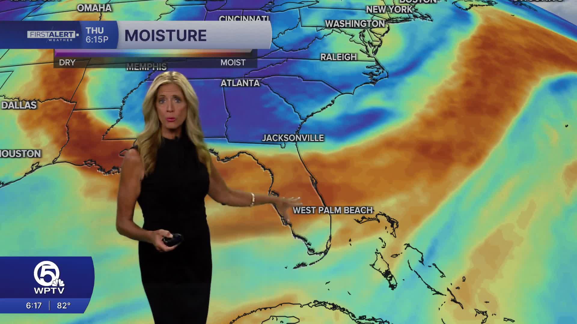
Light steering flow and plenty of tropical moisture in place will put us in a marginal risk of excessive rainfall and localized flooding.
MORE WEATHER: Radar | Alerts | 7-Day Forecast | Hourly Forecast
This active weather pattern continues into the week with widespread coverage of showers and storms.
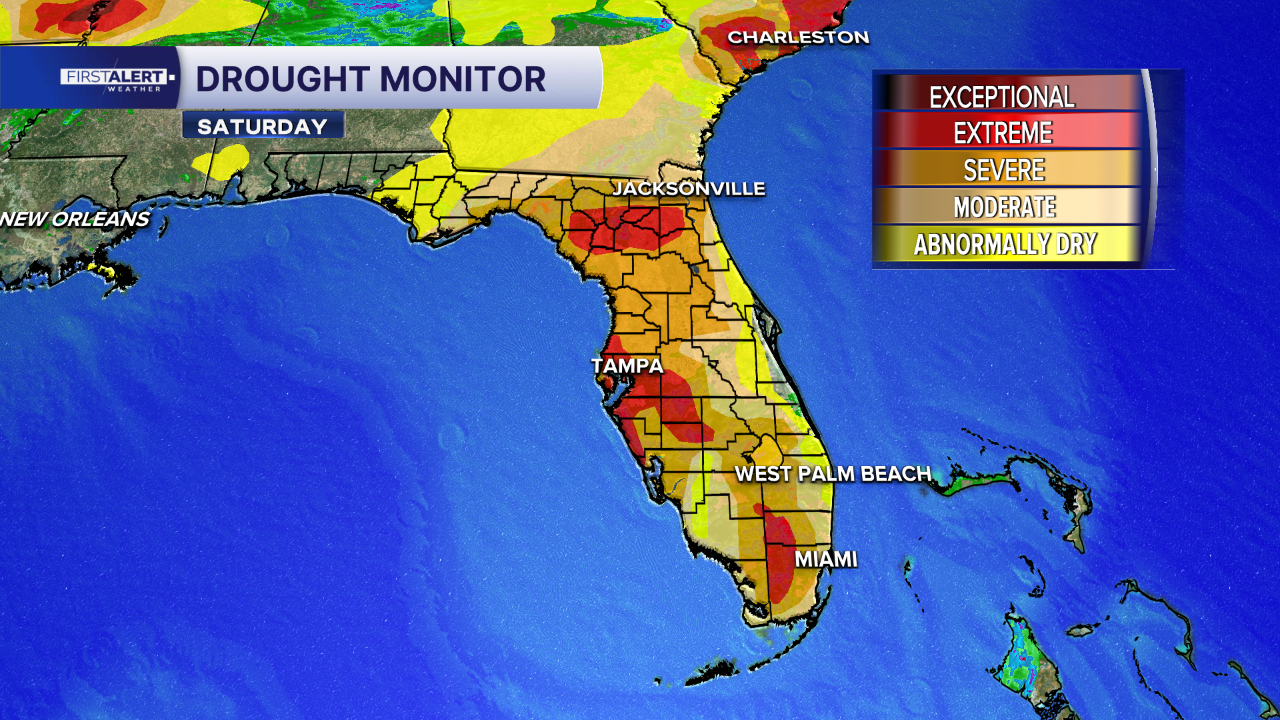
On a positive note, many areas could really use the significant rain to help with the drought.