


THE TROPICS
Invest 94L has been upgraded to Potential Tropical Cyclone 9.
The National Hurricane Center does this so it can issue tropical storm watches and warnings even though a tropical depression hasn't formed yet.
MORE WEATHER: Radar | Alerts | 7-Day Forecast | Hourly Forecast
In this case, the alerts have gone up for the Bahamas this weekend. Potential Tropical Cyclone 9 will lift north from Cuba, passing about 170 miles east of West Palm Beach on Sunday.
At this distance, the storm is far enough off the coast to spare the area from any significant impacts.
At the same time, it's close enough to where an outer feeder band could brush the area, so a quick-hitting downpour is possible while you're watching the 1 p.m. football games. Marine conditions will also deteriorate quickly Sunday afternoon.
Once past the Space Coast our confidence in the track begins to decrease quickly. Potential Tropical Cyclone 9 will have two large systems tugging at it next week. An upper-level low-pressure system is over the Panhandle and Hurricane Humberto to the east.
Which ever one ends up being the more dominant feature with the greater influence will ultimately determine where Potential Tropical Cyclone 9 ends up going. If the upper-level low is stronger, we will likely see a landfall somewhere north of Jacksonville, Florida and south of Wilmington, North Carolina.
If Humberto becomes the dominant influence, it's quite possible that Potential Tropical Cyclone 9 turns east and misses the United States completely.
Speaking of Humberto. Hurricane Humberto has become a beast in the Atlantic, sitting roughly 400 miles northeast of the northern Leeward Islands.
Hurricane Humberto is a major Category 4 storm on the Saffir-Simpson Scale and is expected to strengthen into a Category 5 by Saturday evening with winds of 160 mph.
Humberto should pass in between Bermuda and Cape Hatteras, North Carolina by the middle of next week. Other than rough seas and rip currents, no impacts to the U.S. mainland are expected.
7 Day Forecast
Tonight: Partly cloud, warm and humid with a spotty shower or thunderstorm. Low 76.
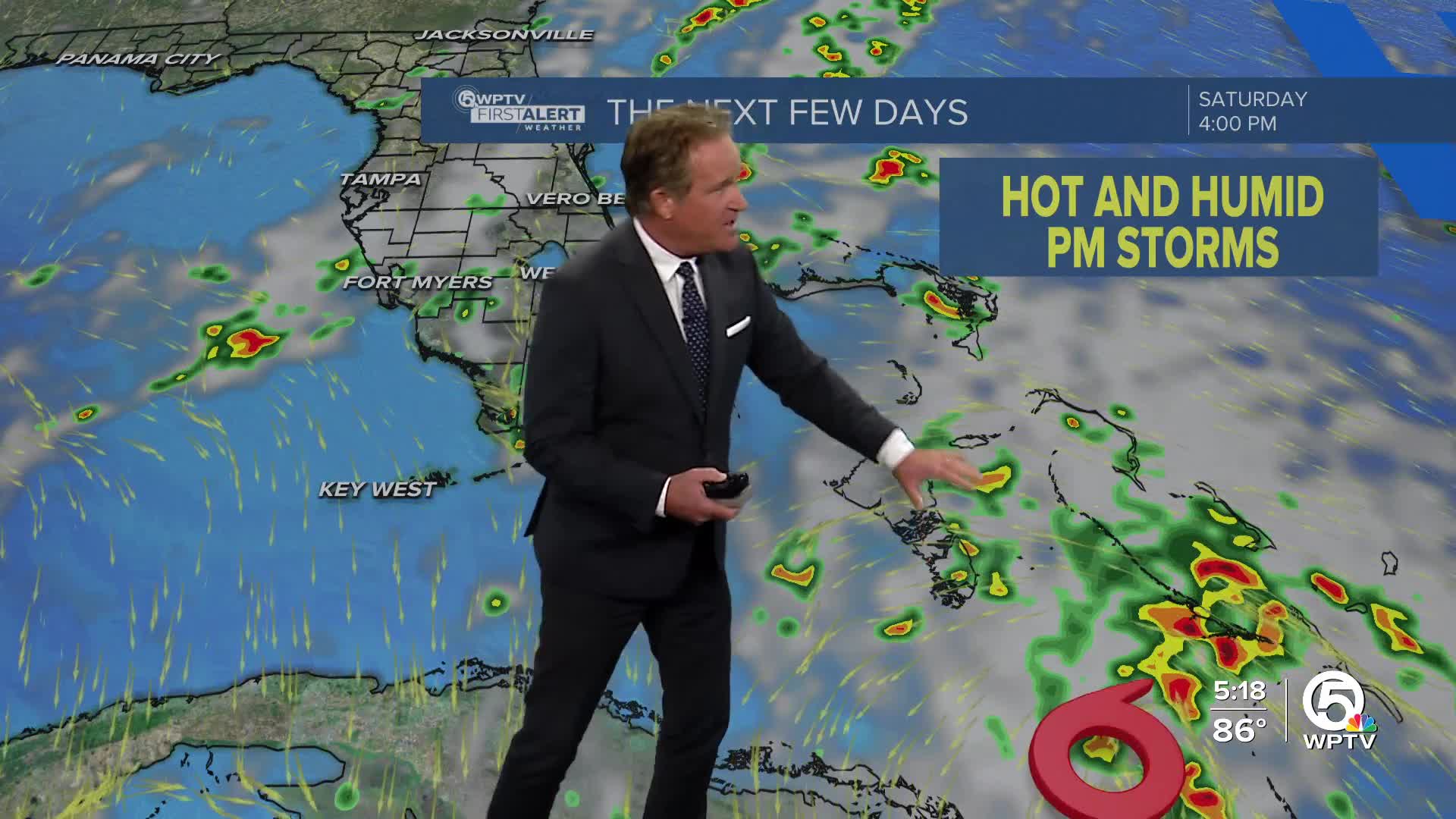
Saturday: Nice start to the weekend! Sun and clouds, hot. A spotty afternoon thunderstorm is possible. High 91. Heat index 100.
Sunday: Watching the tropics. An outer feeder band could brush coastal areas with downpours and thunderstorms during the afternoon depending on the exact track of Potential Tropical Cyclone 9. Otherwise, becoming partly cloudy, breezy and very humid. High 90.
Monday: There could be a shower or thunderstorm around. Otherwise, mostly sunny and hot! High 91.
Tuesday: Mostly sunny and less humid. High 92.
Wednesday: Sun and clouds, moderately humid. High 91.
Thursday: Hot and humid with an afternoon thunderstorm in spots. High 90.
Friday: Very warm and humid with scattered thunderstorms. High 88.
A cold front is approaching the Florida Panhandle.


