


WEST PALM BEACH, Fla. — The overall weather pattern remains quiet and warm— for now before a big cooldown arrives early next week.
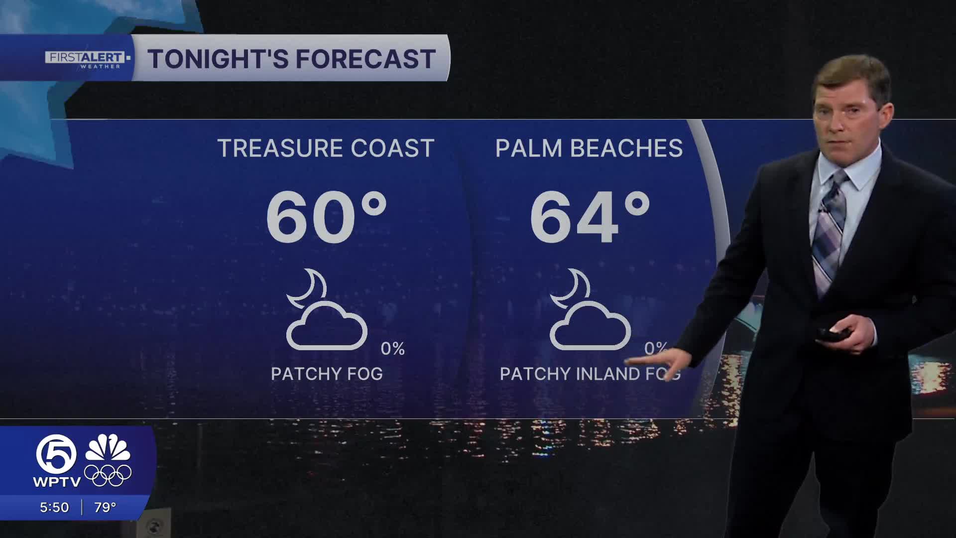
Areas of dense fog are expected to develop across inland Southwest Florida tonight. Patchy fog could drift into the Treasure Coast during the early morning hours.
Some spots could see visibility drop, which may create hazardous travel during the morning commute. Any fog that forms should gradually lift after sunrise.
MORE WEATHER: Radar | Alerts | 7-Day Forecast | Hourly Forecast
With plenty of sunshine and a southerly flow, temperatures will continue running well above average.
Afternoon highs on Friday will climb into the lower-mid 80s along the coasts, while inland areas will commonly reach the mid to upper 80s.
A high risk of rip currents continues along the beaches, so swimmers are urged to use extra caution and enter the water only near lifeguards.
The elevated risk is being driven by a lingering northeasterly swell that will keep dangerous surf conditions in place through the end of the week.
Very warm weather persists into the weekend before a cold front approaches late Sunday. We will approach record highs, but it does not look likely that we will break any records during this warm-up.
Only isolated to scattered showers are expected ahead of the front, with the better rain chances likely staying closer to the Lake Okeechobee region. Unfortunately, not much rain will be squeezed out of the front with most areas receiving under a tenth of an inch of rain. This will do very little for our drought.
Behind the front, a much cooler and drier air mass will move into South Florida early next week. Breezy northwest winds and strong cold air advection will send temperatures tumbling.
Monday morning will be chilly with temperatures in the 40s across the area. Highs on Monday will struggle to reach the upper 60 in many areas. By Tuesday morning, lows could fall into the lower 40s region-wide, with mid to upper 30s possible across interior communities. If you aren't a fan of the chilly weather, warmer temperatures will be returning later in the week.


