


WEST PALM BEACH, Fla. — South Florida will stay locked into a hot and increasingly humid weather pattern through the weekend, with isolated to scattered afternoon storms developing each day before a more active pattern arrives early next week.
We won't have much relief from the heat overnight as it will stay muggy with lows in the mid-upper 70s.
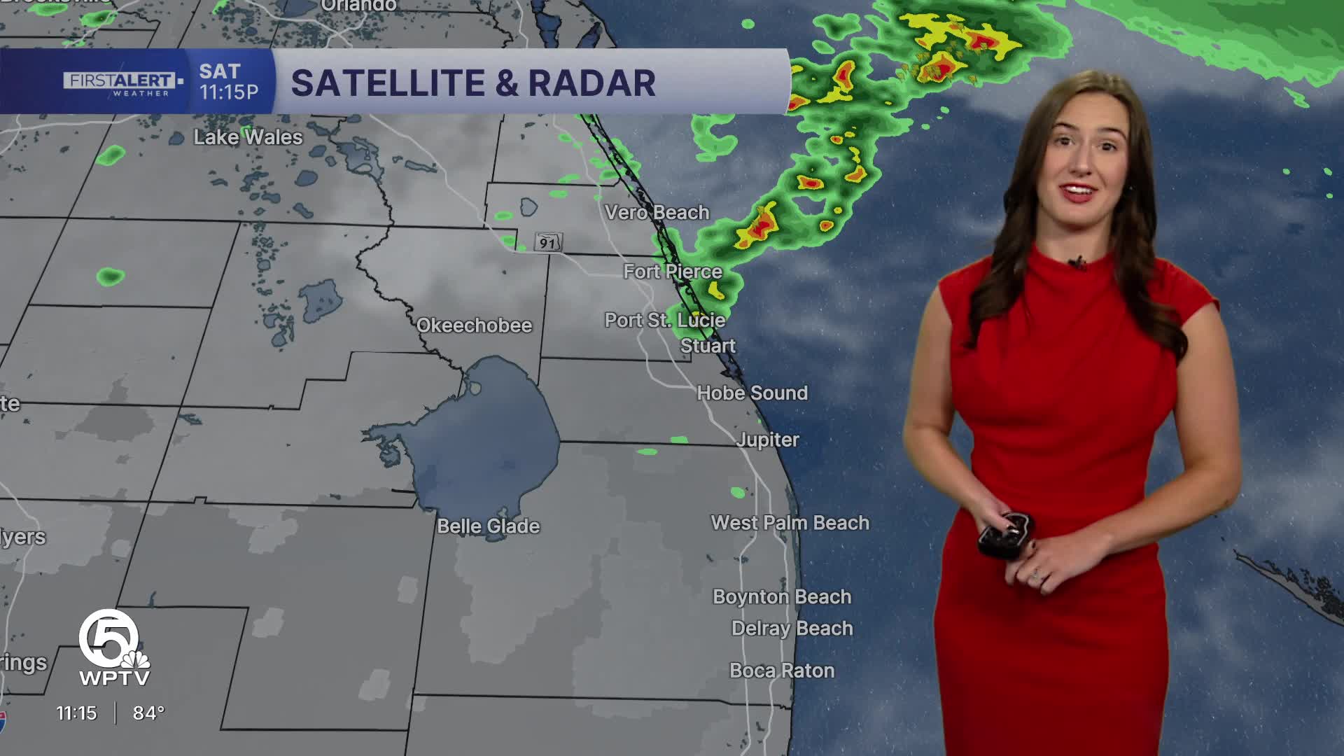
MORE WEATHER: Radar | Alerts | 7-Day Forecast | Hourly Forecast
Sunday will feature even higher humidity and slightly better storm coverage during the late afternoon and evening hours. Temperatures will reach the lower 90s near the coast with inland communities approaching the mid 90s. The heat index will make it feel more like 99–105°.
If mom is wanting to spend time outdoors, make sure the family is staying hydrated, wearing light colored and weighted clothing, and take frequent breaks in the shade or air conditioning.

Other than the heat, morning brunch plans, beach trips, and outdoor activities should still be in good shape through the first half of the day. However, scattered storms are expected to become more likely later in the afternoon as moisture continues increasing across South Florida. Not everyone will see rain, but any storm that develops could briefly produce frequent lightning, heavy downpours, and gusty winds.
Rain chances continue to increase Monday into Tuesday as a cold front approaches the region. You can expect scattered afternoon and evening storms with the chance for a few strong thunderstorms.
By Tuesday, the front is expected to settle south of the area while lingering moisture keeps scattered showers and storms in the forecast before slightly drier conditions gradually return later in the week. Temperatures will be slightly cooler with highs backing off in the mid-upper 80s most of next week.


