


WEST PALM BEACH, Fla. — South Florida and the Treasure Coast will continue to feel the effects of a messy weather pattern as we wrap up the weekend and head into early next week.
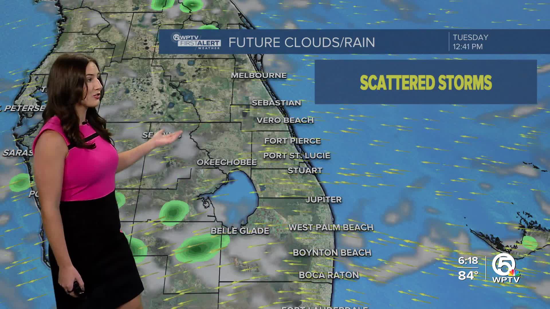
Scattered showers will continue moving quickly in off the Atlantic. While drier air aloft will limit widespread thunderstorms, bands of heavy showers are possible.
Rainfall totals near 1–2 inches are possible by Monday evening, especially in the Treasure Coast where this a flood advisory. Localized flooding could develop in poor drainage or urban areas, particularly where soils are already saturated.
MORE WEATHER: Radar | Alerts | 7-Day Forecast | Hourly Forecast
Waves of 5 to 7 feet will continue to pound the shoreline, creating a high risk for life-threatening rip currents.
Minor to moderate beach erosion is also possible, especially during times of high tide, and with king tides beginning, some coastal flooding is expected along the Intracoastal and other low-lying coastal areas.
Small Craft Advisories remain in effect, with seas of 7–10 feet offshore. Boating conditions will stay very hazardous through at least Monday.
Rain chances stay elevated through Monday, with widespread coverage possible as deeper tropical moisture streams into the area.
By midweek, a brief drier trend may develop, but beach and marine hazards are expected to linger with persistent onshore flow and the higher astronomical tides.
Farther out, some long-range models are even hinting at Florida’s first taste of a fall cold front late next week, but confidence is still low on whether it makes it this far south.


