


WEST PALM BEACH, Fla. — A strong area of high pressure stretching down the East Coast is driving a windy pattern across South Florida and the Treasure Coast to start the week.
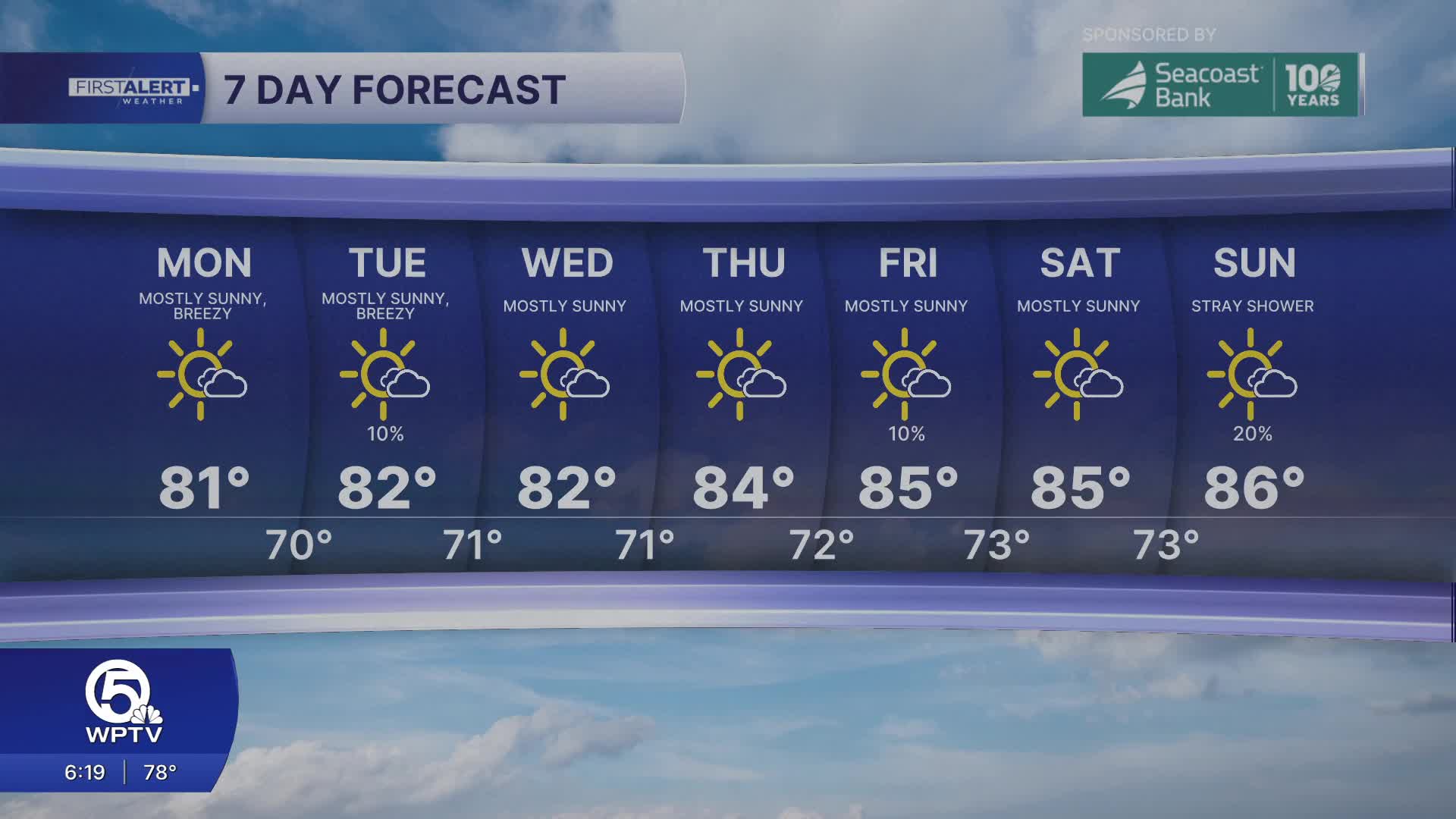
Conditions will remain dry on Monday with plenty of sunshine. Highs will reach the upper 70s to lower 80s.
However, gusty, easterly winds are expected on Monday, frequently reaching 25 miles per hour, with occasional gusts even higher. The persistent onshore flow is creating dangerous beach and marine conditions.
MORE WEATHER: Radar | Alerts | 7-Day Forecast | Hourly Forecast
Along the Atlantic beaches, a high risk of life-threatening rip currents will continue through Monday. Rough surf with waves building between 4 and 6 feet will make entering the water especially dangerous, and beachgoers are strongly urged to stay out of the ocean.
Boating conditions will also be very bumpy. While conditions may be gradually improving starting on Monday, caution is still advised through midweek as winds remain elevated.

Temperatures will gradually warm through the week, with highs climbing into the middle 80s along the coast. Most of the week looks dry with only a few sea breeze showers in the forecast.


