


WEST PALM BEACH, Fla. — Another cold night is on tap for Palm Beach County and the Treasure Coast with widespread 40s and a few lower 50s near the immediate coastline. Interior areas (Okeechobee) will likely see lows once again in the upper 30s.
Breezy north winds will subside a little bit overnight as the pressure gradient weakens.
MORE WEATHER: Radar | Alerts | 7-Day Forecast | Hourly Forecast
The Gale warning has dropped from the Atlantic waters. However, a small craft advisory remains in place through early Wednesday morning.
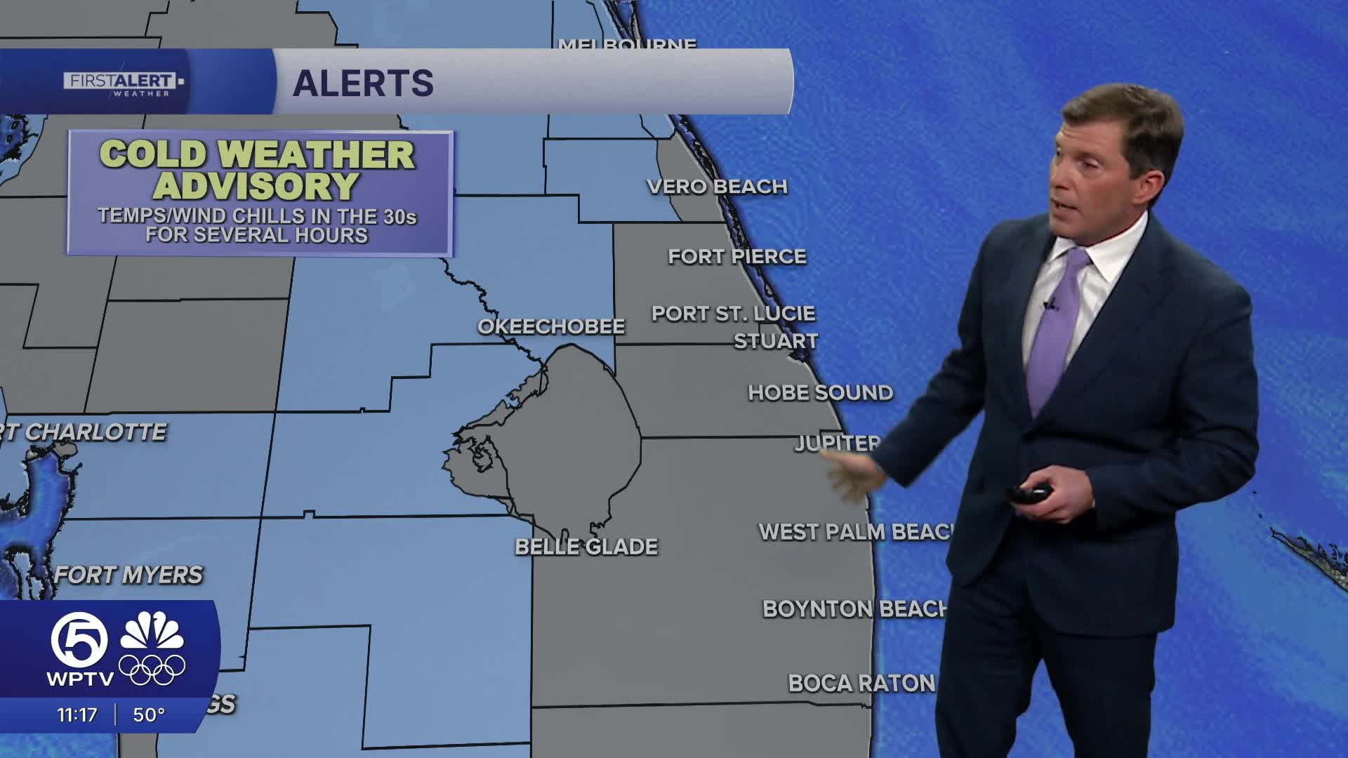
A cold weather advisory is in effect for western Indian River County and Okeechobee through Wednesday morning and a freeze watch is in effect for Okeechobee County for Wednesday night.
We're watching another front expected to move through late Wednesday.
On land, the combination of dry air and lingering winds could increase fire danger at times this week, particularly during the warmer afternoon hours when humidity drops to its lowest levels.
Looking ahead, the chilly pattern isn’t going anywhere. While mornings will gradually warm a bit by Friday and Saturday, a much stronger cold front is expected late Saturday that could deliver the coldest air of the season.
Early Sunday temperatures could plunge into the 20s near Lake Okeechobee, with wind chills potentially dropping into the teens in central Florida. We will be watching closely as this system approaches, as conditions could edge toward extreme cold for parts of South Florida.
**Portions of this story were assisted by artificial intelligence tools and reviewed by a WPTV journalist to ensure accuracy, clarity, and adherence to editorial standards.


