


WEST PALM BEACH, Fla. — Tropical Storm Imelda continues to bring us wet and breezy conditions. Even though a direct land impact is not anticipated for South Florida, the system will still influence our weather over the next couple of days.
Bands of showers and gusty squalls will move into the area Monday, especially along the coast. Most of the rain will be manageable, but isolated flooding cannot be ruled out.
MORE WEATHER: Radar | Alerts | 7-Day Forecast | Hourly Forecast
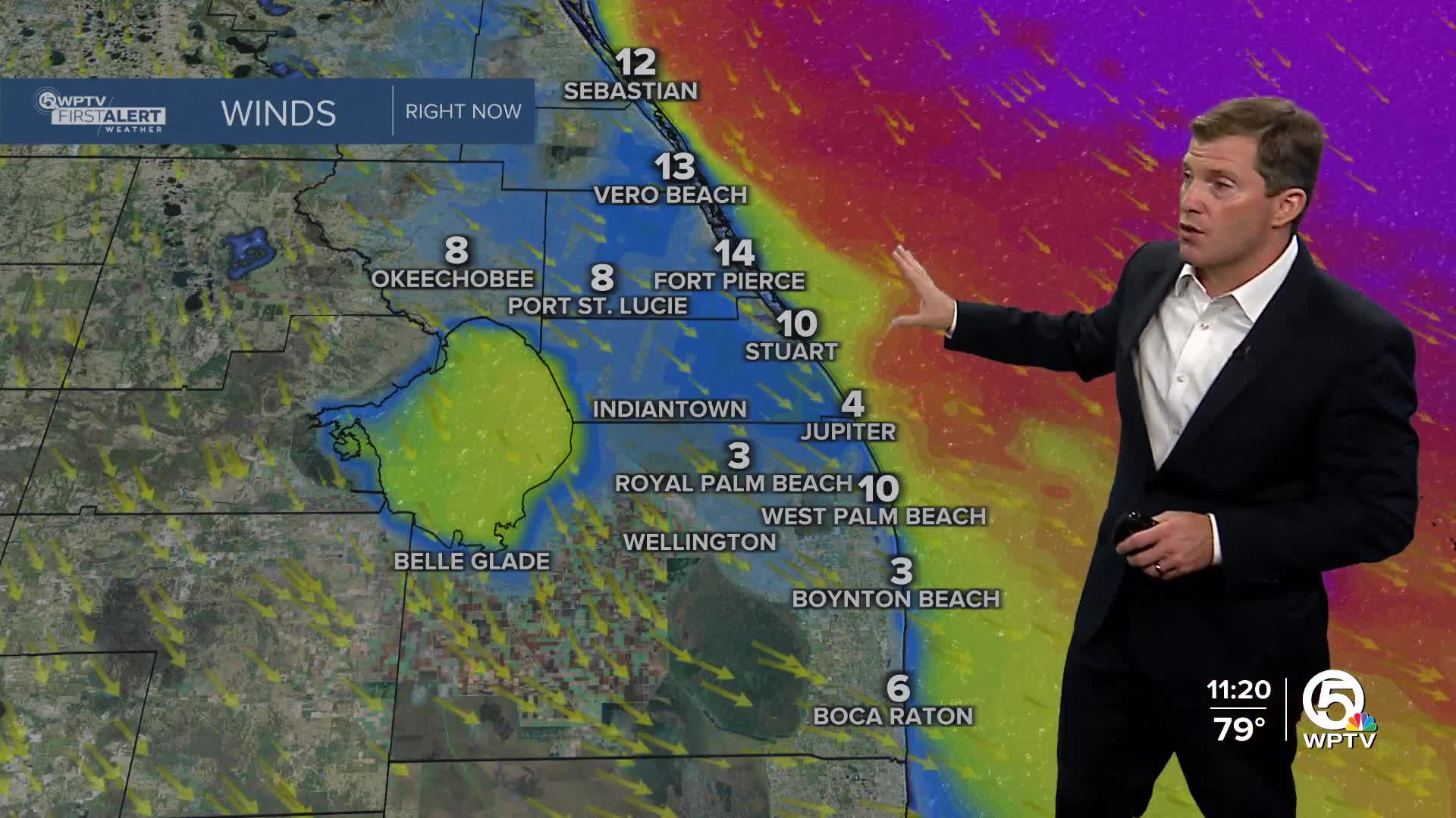
Winds across land are not forecast to reach tropical storm force, but breezy conditions are expected. North to northwest winds 20-30 mph are expected for the Treasure Coast, and gusts up to 40 mph are possible.
The bigger concern will be at the coast and over the water. A Tropical Storm Warning is in effect for the Atlantic waters, where waves will build quickly and may reach 6-10 feet Monday with higher seas in open Atlantic waters.
Rough surf, life-threatening rip currents, and the potential for beach erosion will be an issue for several days. Even if skies are clear at times, dangerous conditions in the water will persist well beyond the storm’s closest approach.

As Imelda lifts northward, it is expected to strengthen further and could become a hurricane as early as Monday night or Tuesday
before making a sharper turn out to sea, keeping the core of the storm away from South Florida. By Tuesday, winds will shift to come out of the northwest with occasional gusts up to 30 mph.
Although the storm will be moving away, swells generated by both Imelda and distant Hurricane Humberto will keep coastal conditions dangerous through much of the week.
Rip currents and high surf are expected to remain a concern into next weekend, so extra caution will be needed for anyone planning beach or boating activities.
Rain chances gradually improve this week, but due to the storm turning east, it won't be as dry as previously thought. Temperatures were mainly be in the mid-upper 80s.


